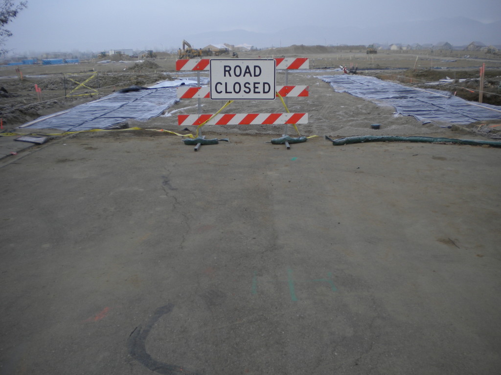
North of highway 119 (diagonal) / Oxford Road, west of Airport Road , south of Clover Basin Drive, east of Mt. Audubon St. / 79th Street extended north.
Total for today : 36,520 steps and 6:10 time.
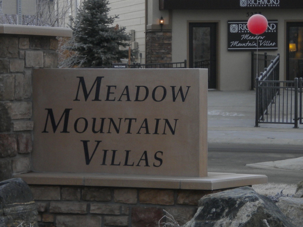
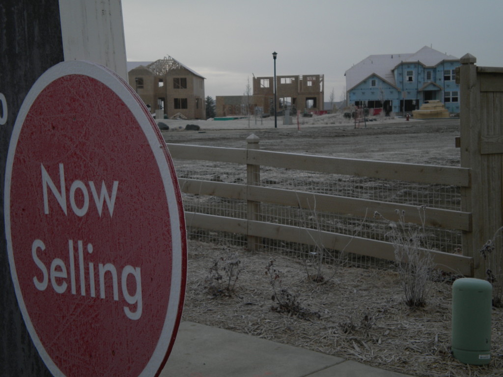
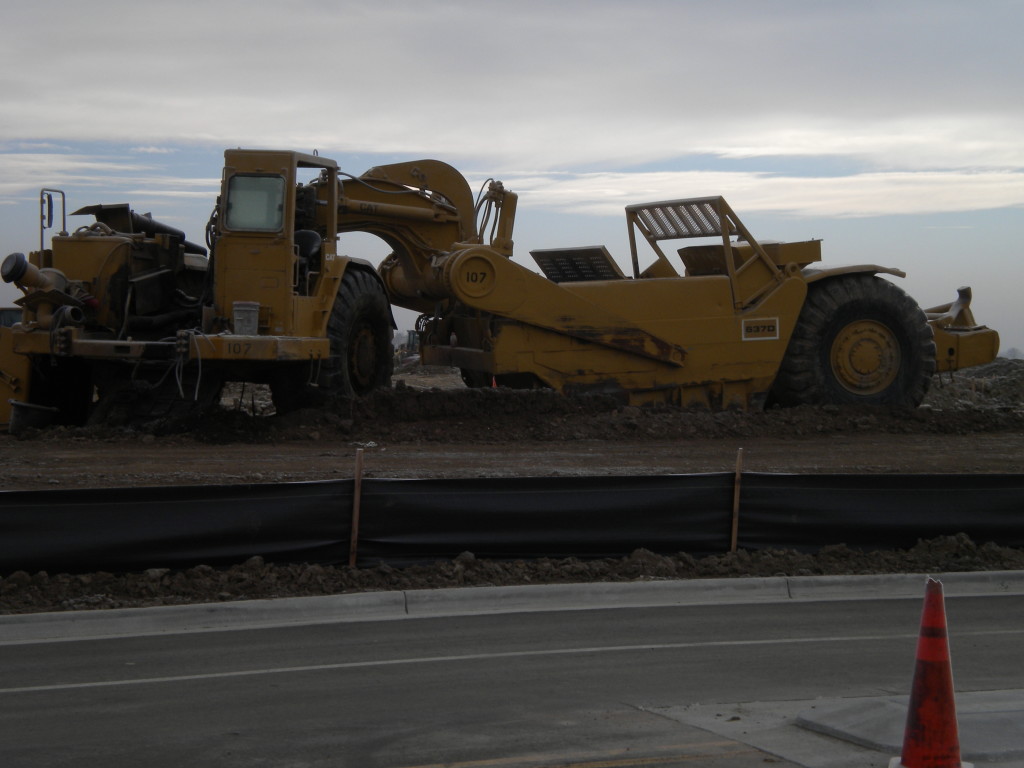
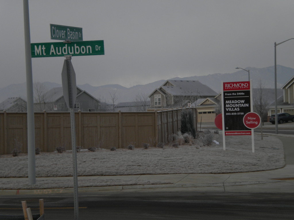
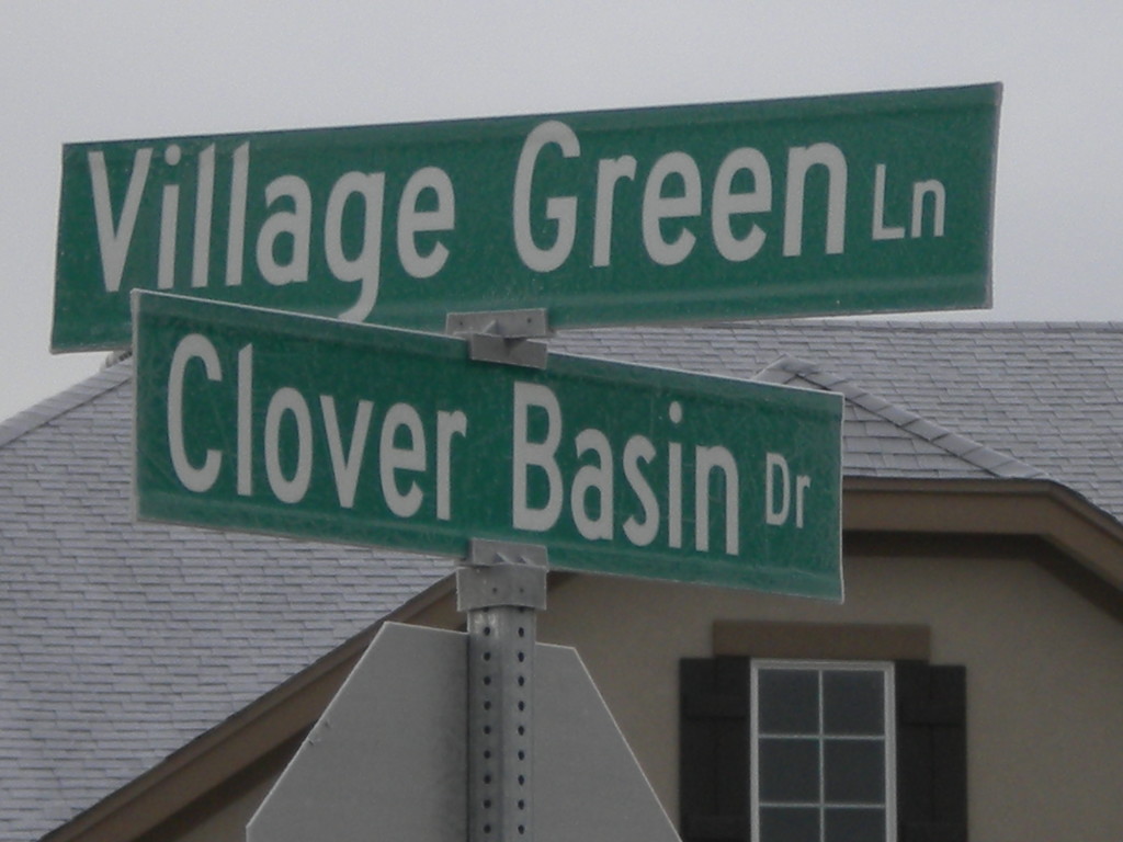
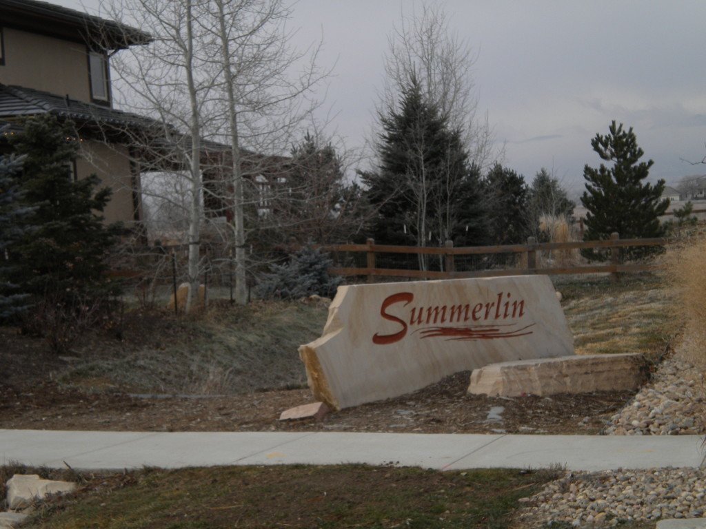
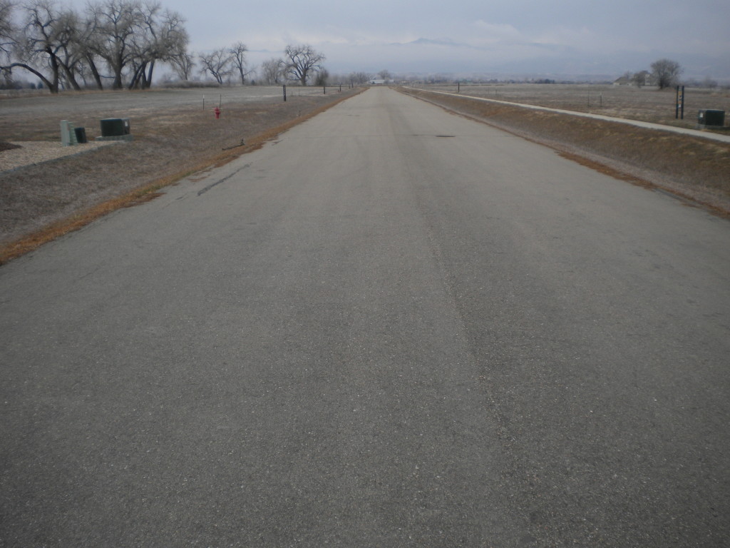
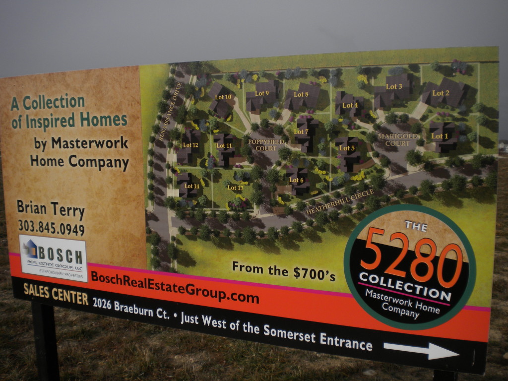
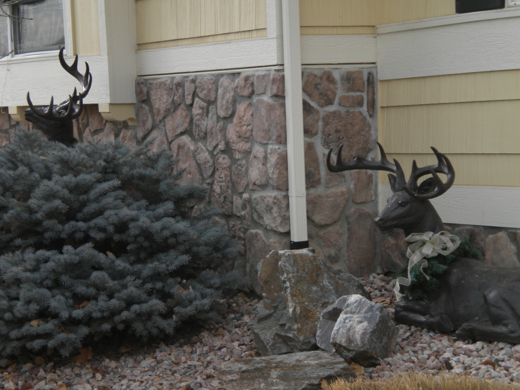
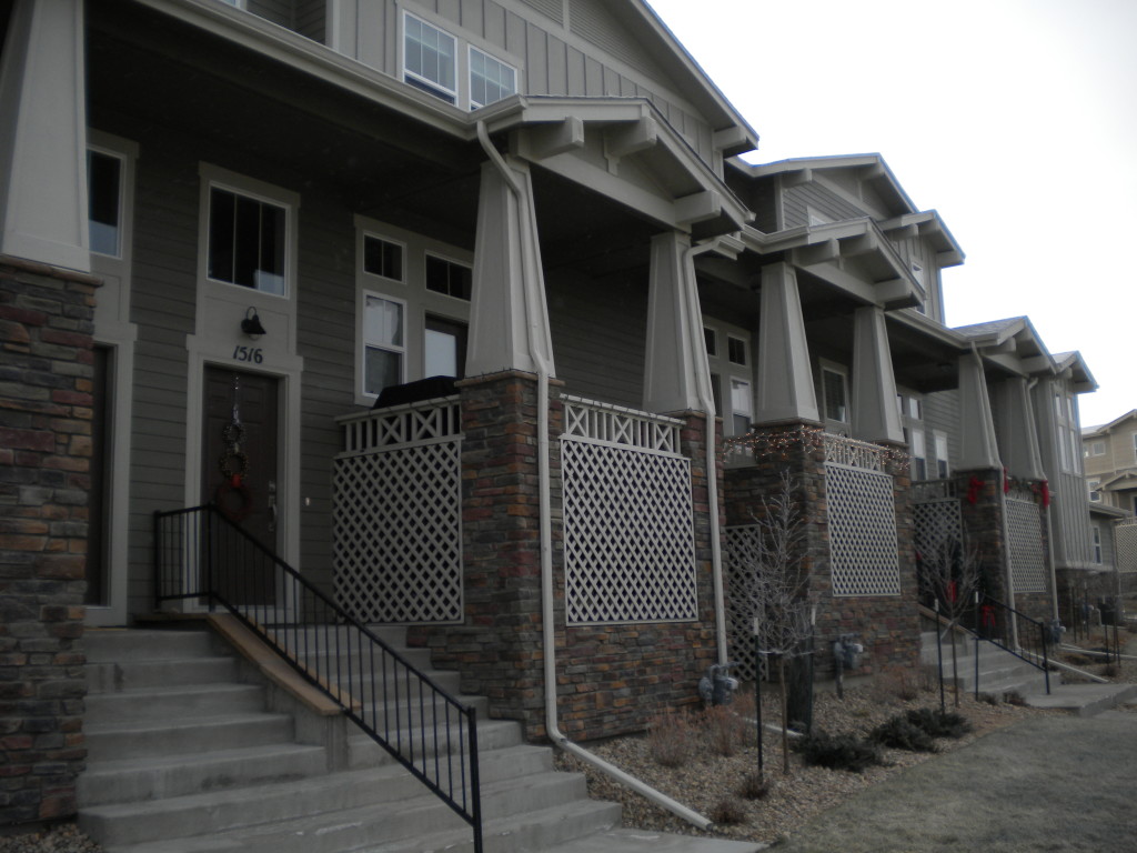
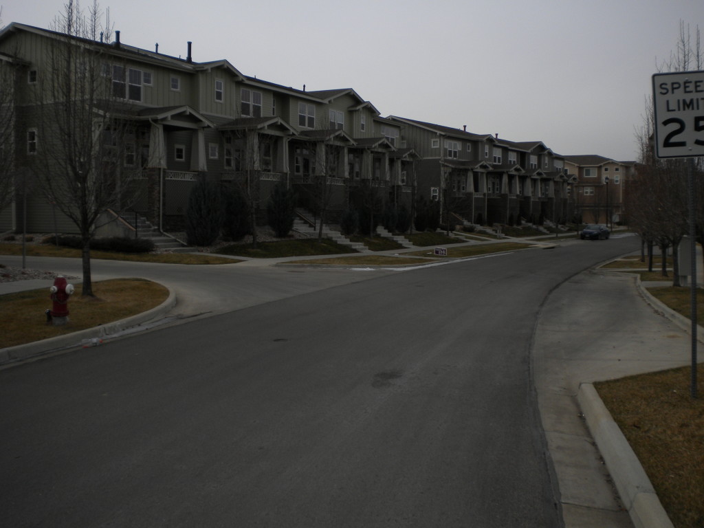
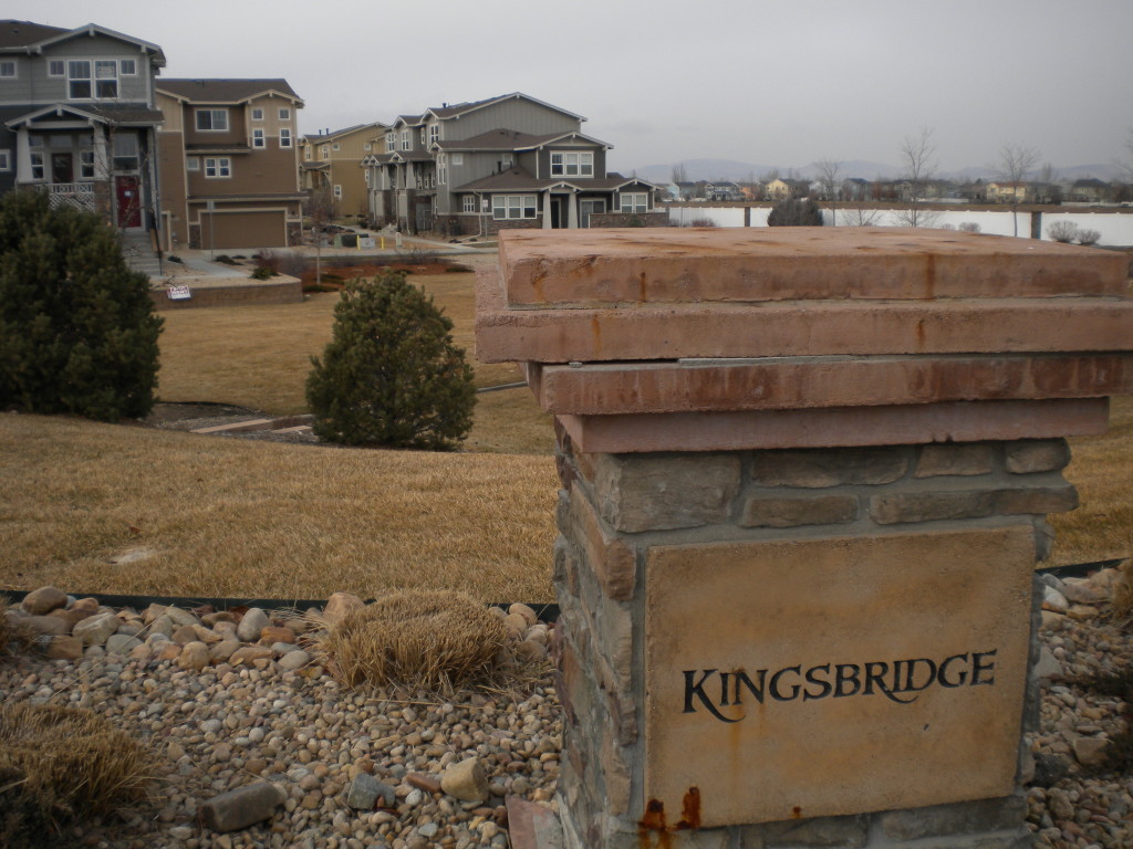
There’s a new neighborhood going in south of Clover Basin and just west of the Renaissance neighborhood, so I walked those few streets today as well. They don’t even show up on Google maps yet, but they have street signs up… so for the record, the new street names are Mt. Audubon Drive, Village Green Lane, Retreat Circle, and Hideaway Court. I assume there will be more new street names there as it is filled in… it’s still a work in progress. Meadow Mountain Villas was being worked on as I walked it today.
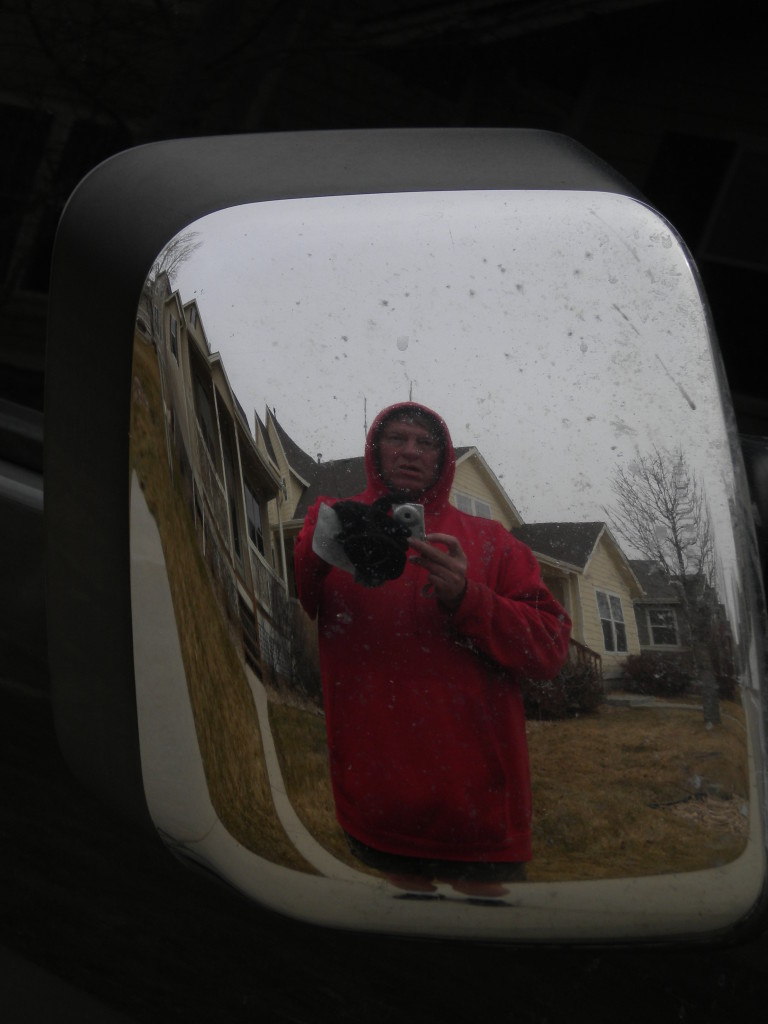
I’ll have to check, but I believe today was my longest walk of the entire year… which is a bit ironic since it’s the winter solstice today, so the shortest day of the year! Definitely the longest time gone, since it involved almost an hour and a half of bike riding to get there and back. It was about 20 degrees when I left home at 7:40, and about 34 when I got home. I still just wore walking shorts, so was bare-legged, but had a sweatshirt with hood and gloves, so was reasonably warm. Like I’ve said before, I’m more a cold-weather person than warm-weather.
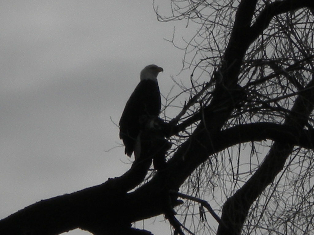
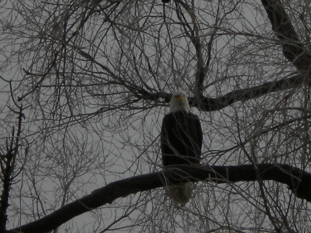
Had one of the high points of my entire year today… I saw a bald eagle a tree perched about 40 feet above me. I’ve seen bald eagles from a distance before, but never this close. It was still there about a hour later, so this may be a regular roost for it, looking for near-by prairie dogs or something. It was right at the entrance to the short Buckham Way… I assume the residents there know if it’s a regular visitor.
NEW NEIGHBORHOOD GOING IN
Just a little digression on two of the street names above. The Kinks put out an album in the 1960’s called ‘The Kinks Are the Village Green Preservation Society’.
Village Green album wiki
Mt. Audubon is a fairly easy 13-er in the Indian Peaks wilderness… nothing spectacular, but a nice nearby afternoon hike.
Mt. Audubon wiki
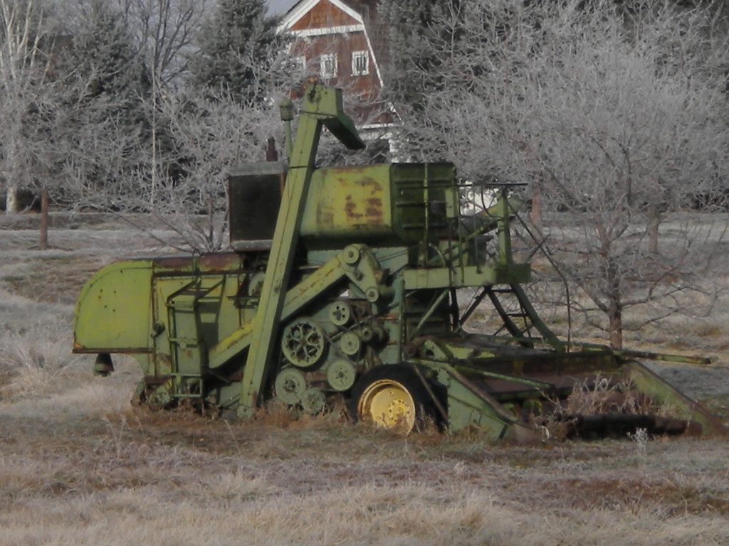
WALKING OUT IN THE COUNTRYSIDE
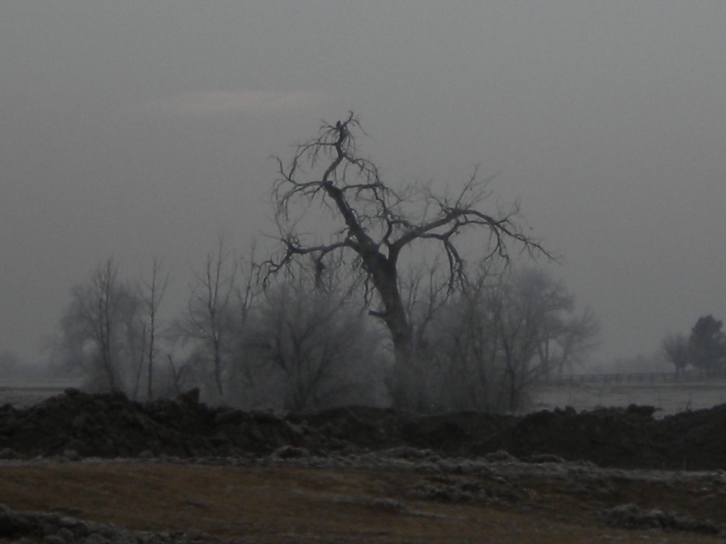
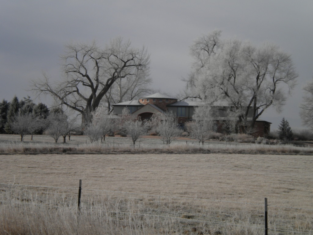
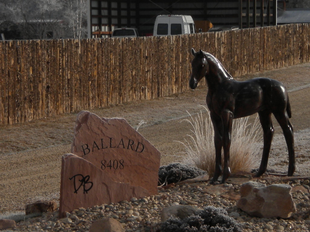
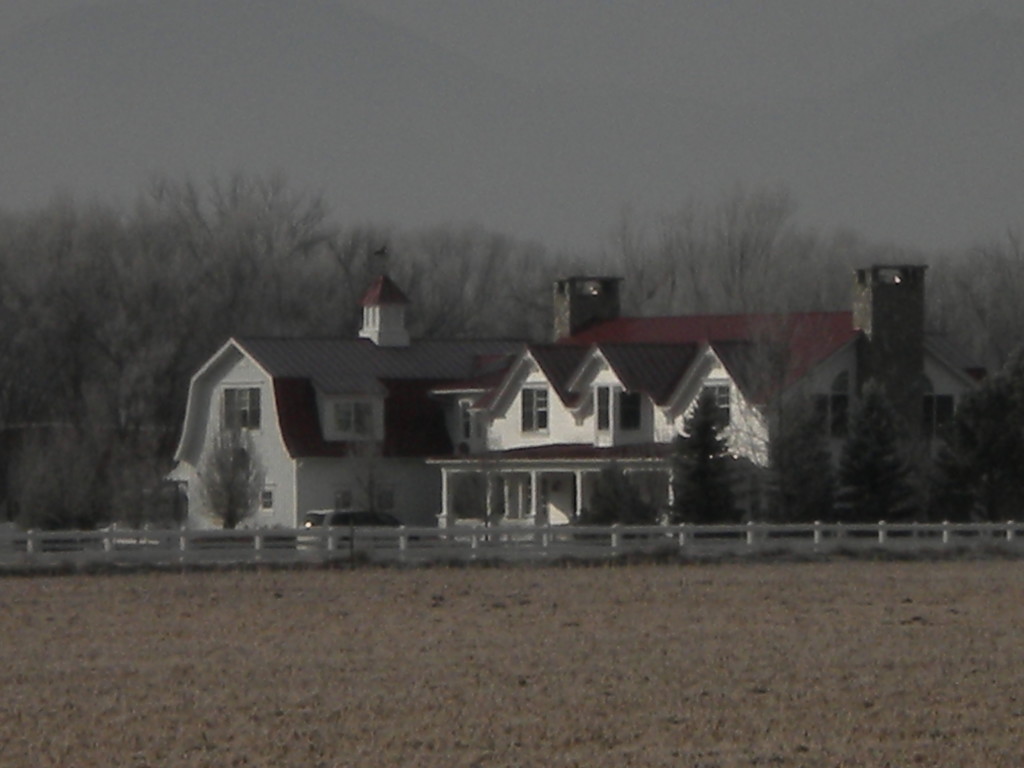
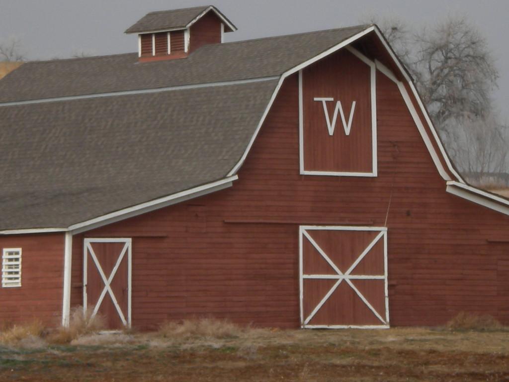
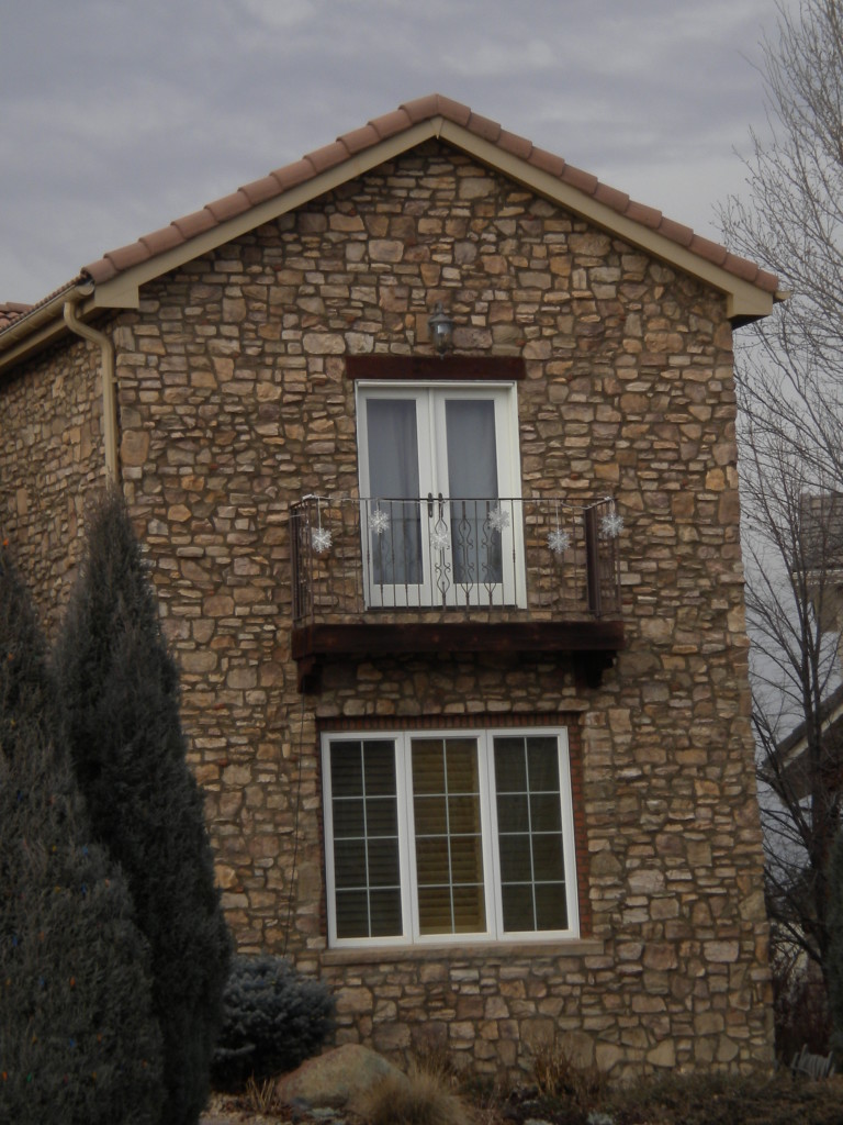
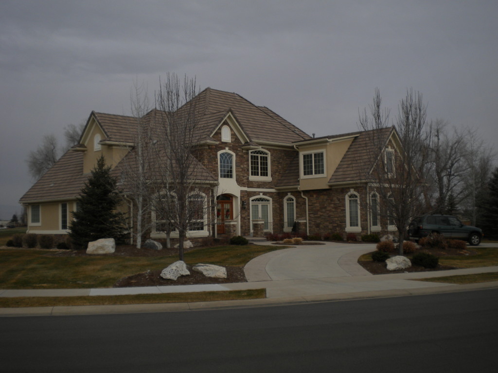
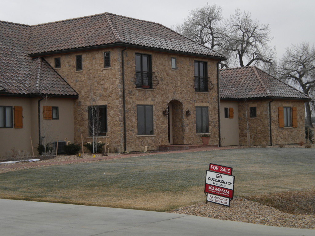
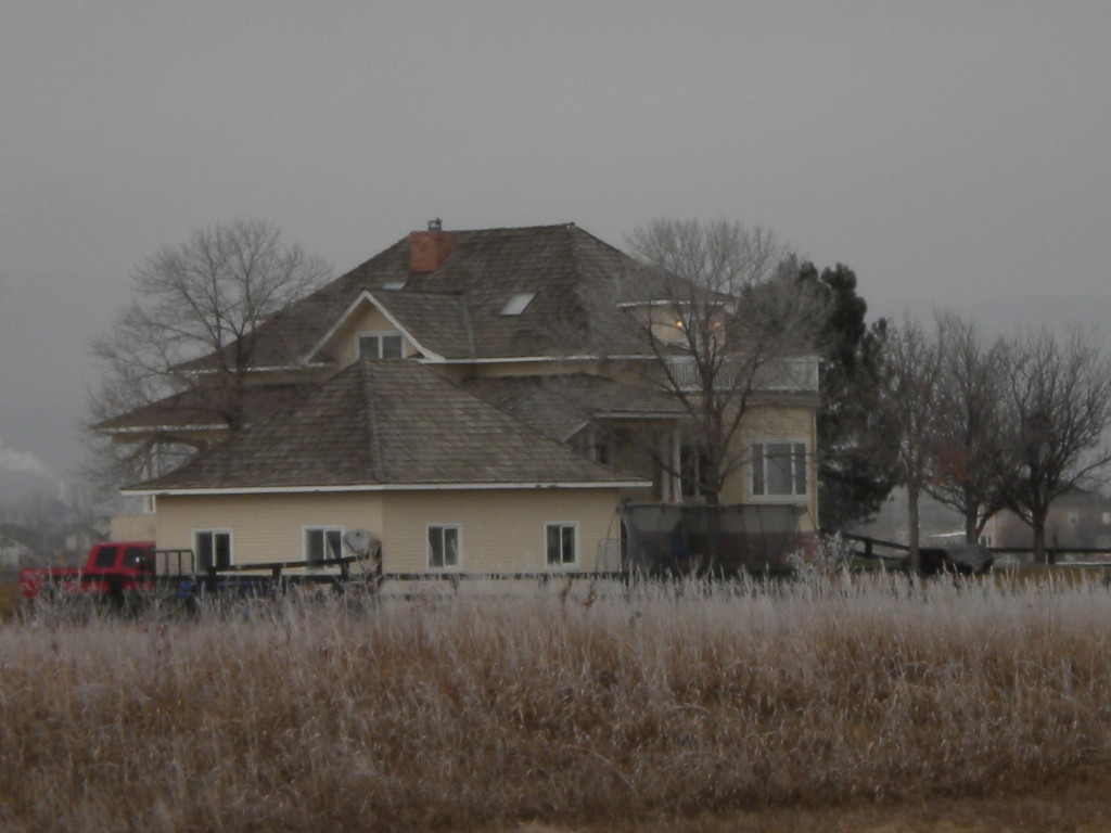
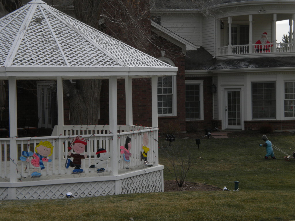
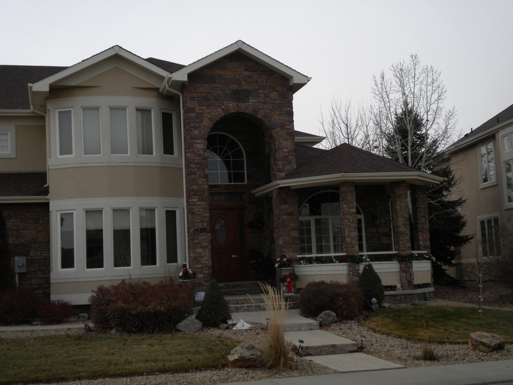
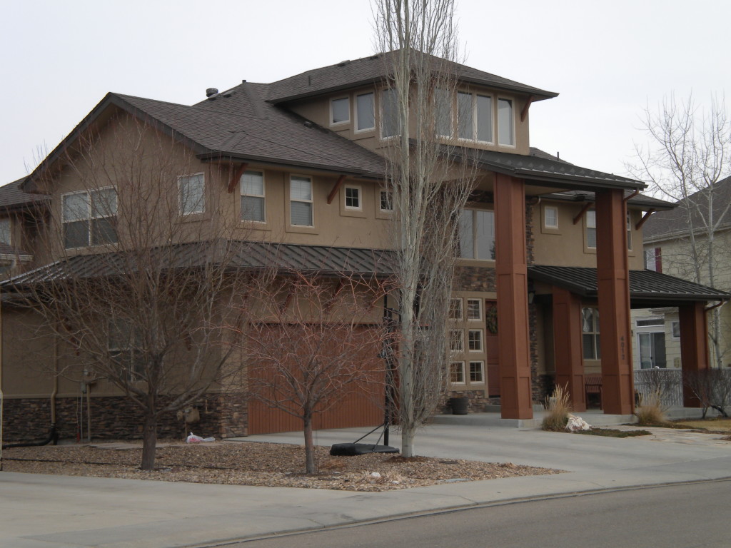
Although this is outside the city limits, it seemed appropriate for me to walk south on 79th street to Oxford Road, over to the diagonal, and then back up on Airport Road. There are some mansion-type houses out in this area!
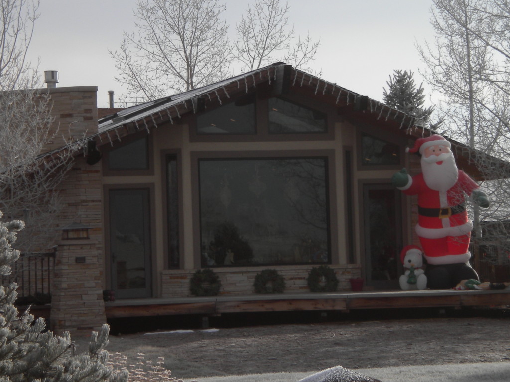
Back into town now… first the southern area, south of Pike Road…
SOUTH OF PIKE ROAD…
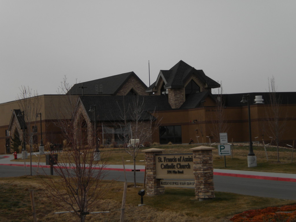
NORTH OF PIKE ROAD –RENAISSANCE
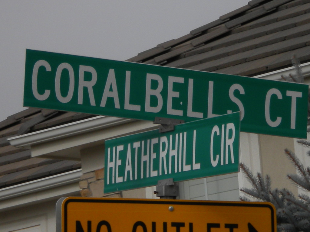
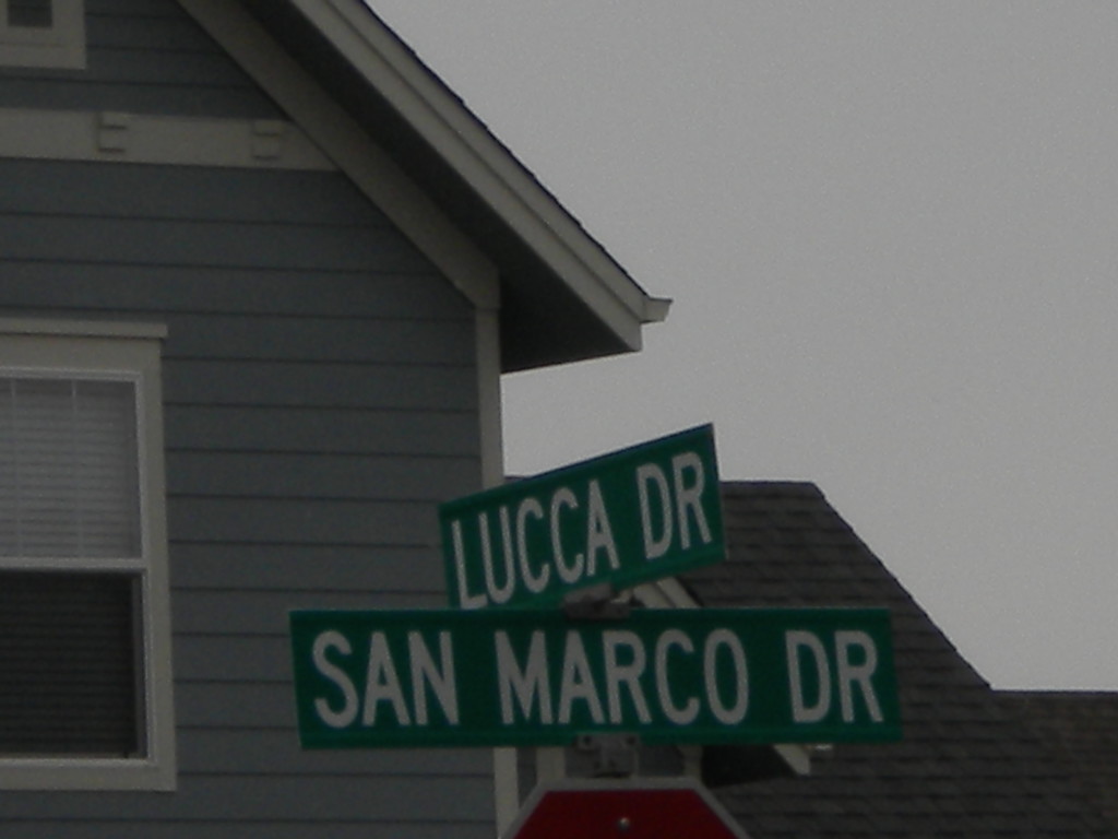
This area is mostly Italian-themed street names… Venice, Da Vinci, Milano, Lucca, Portofino, Bella Vista, San Marco, Calabria, Palermo, Arezzo, Ravenna, Sicily, Lombardy, Tuscany, and Roma. I think that’s all… I may have missed one or two.
