North of 9th Avenue, west of Hover Road, south of Mountain View, east of Airport Road
Today was the day before Easter; spring is in the air. Temperature was close to 60 degrees, which was nice, except for one problem. I thought I was done with blisters for the year; I had forgotten that having my feet get hot leads to a higher likelihood of blisters forming. I did get one on my left foot again, but not too bad, and a day or two later it’s fine.
The ‘Academia South’ title refers to the fact that many streets here continue the trend from north of Mountain View of naming streets after colleges/universities. Besides the ones that exist to the north, there are also Fordham, Grinnell, Camden, Purdue, Villanova, Bryn Mawr, and Berkeley.
One of the very first streets on today’s walk was Milner Lane. For some reason I always think of the movie American Graffiti when I hear the name Milner… that was one of the main characters in the movie. I saw it in the movie theater when it came out in 1973, but don’t believe I’ve seen it since. I have listened to it’s very good soundtrack many times, however.
The movie is remarkable because of how many of its cast members, relatively unknown at the time, went on to stardom (or semi-stardom, in some cases). Ron Howard was already well-known for playing Opie with Andy Griffith, and soon afterwards for the TV show Happy Days, and later became an Oscar winning director.
But relatively unknown cast members include Richard Dreyfuss, Harrison Ford, Cindy Williams (LaVerne and Shirley), Mackenzie Phillips, Paul LeMat (the above mentioned Milner, later as Melvin in “Melvin and Howard” about Howard Hughes), Suzanne Somers (in a very minor role), Charles Martin Smith, and Candy Clark… as well as other minor cast members who also went on to bigger and better roles.
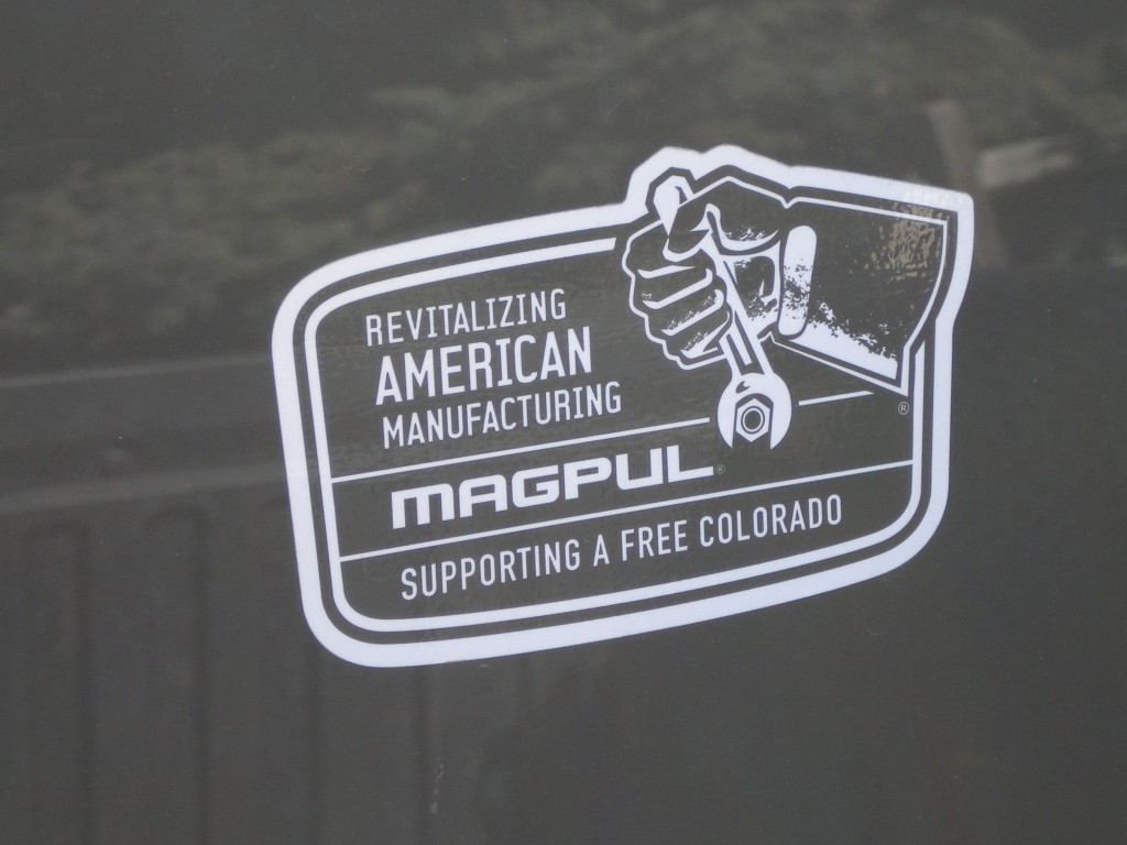
Colorado has been in the news lately because of gun legislation that was recently signed by Governor Hickenlooper. A local company, Magpul, which makes magazines for guns, and from what I heard, apparently employs about 200 local workers, may move out of the state because of this. I had never heard of them before this year, but on today’s walk I saw two cars with the window sticker below.
Magpul Industries, Erie, Colorado wiki
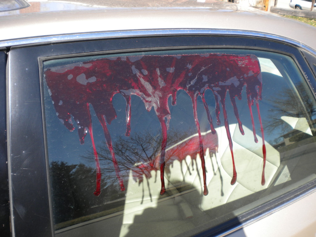
Zombies are apparently a problem in this part of town as well….
I met up with Venita near the end of my walk, and she introduced me to her nephew visiting from England. When I told her I was trying to get a picture of a license plate from every state, she showed me some she was saving to give to her British relatives. I was actually hoping she had an English one for me!
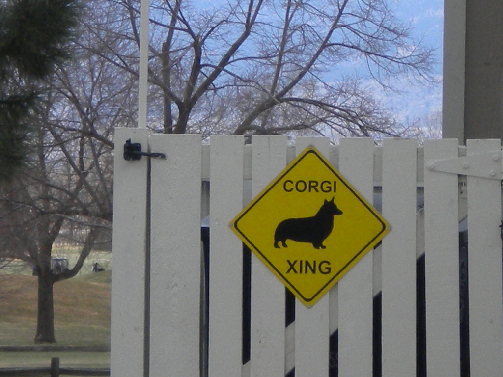
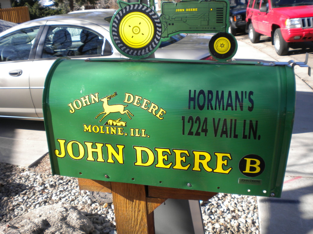
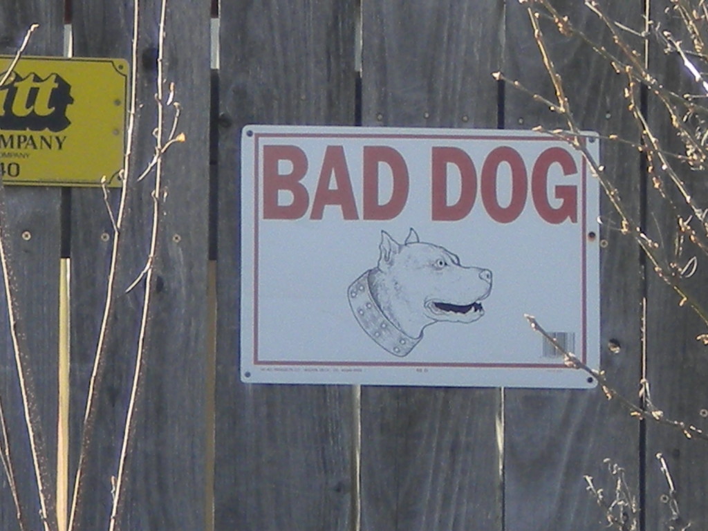
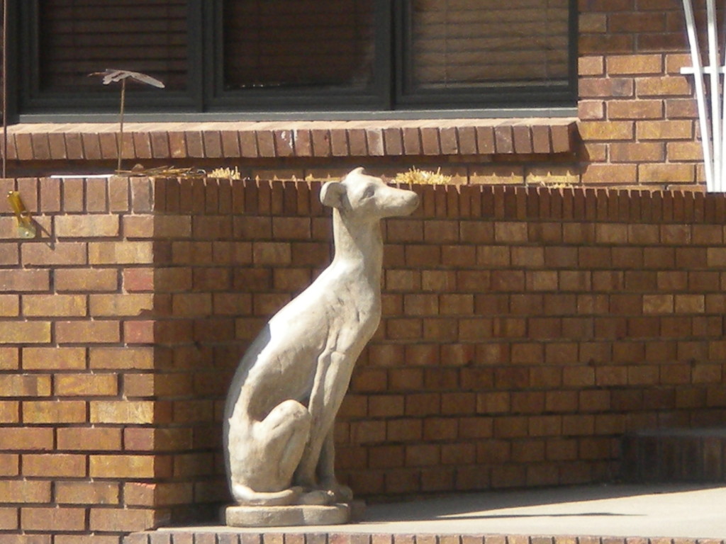
Her neighborhood appears to be very dog-friendly!
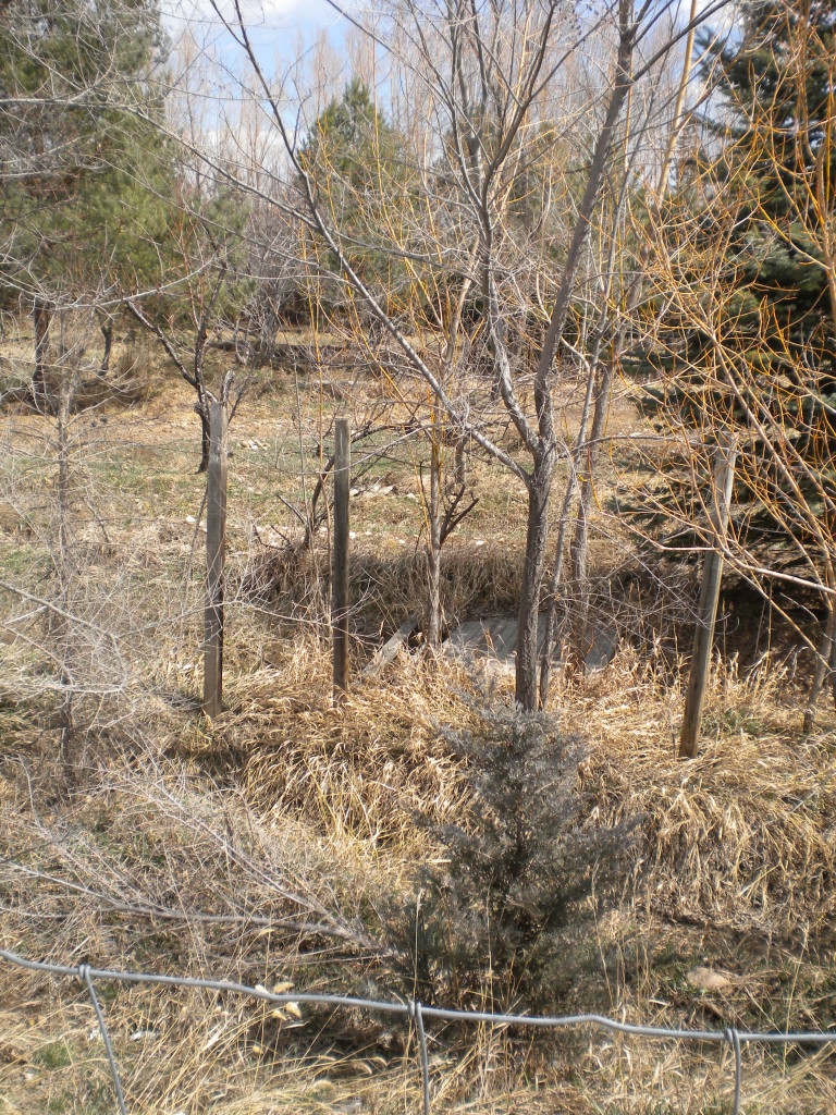
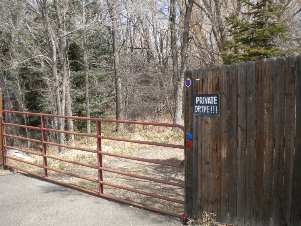
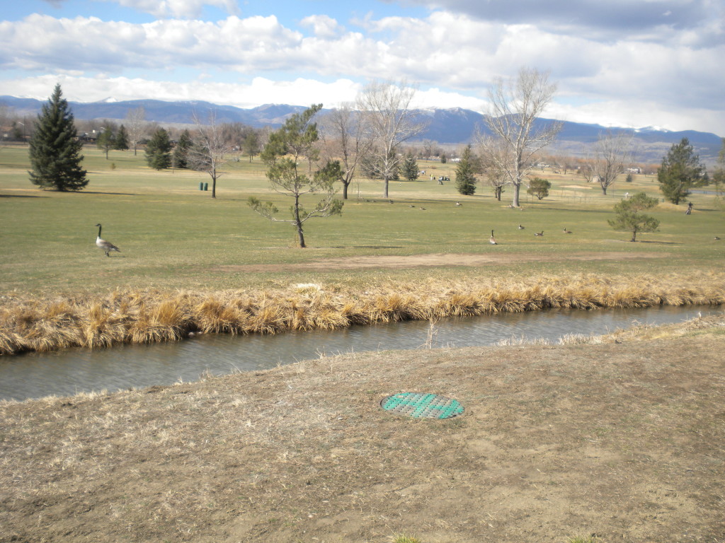
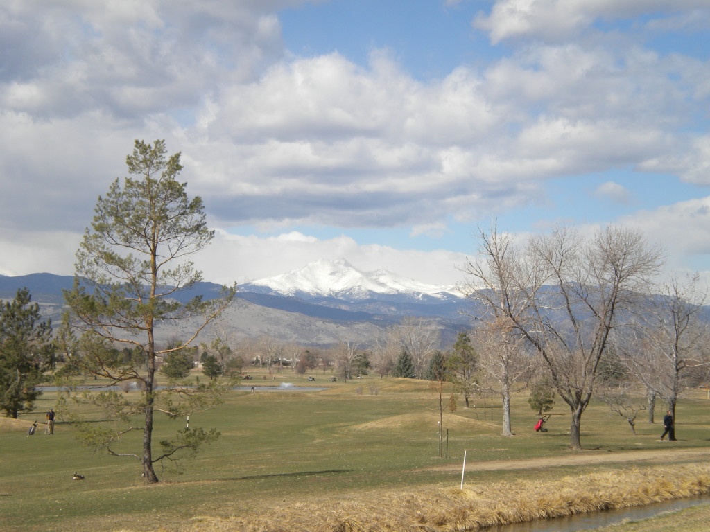
I was surprised by a wooded area just north of 9th Avenue and east of Airport Road. There are a few houses on the very south end, but north of that is a wooded area that has many small ditches with little wood bridges crossing them… all looking fairly run down at this time. Does anybody know what the story is behind this? It looks like at one time, many years ago, a lot of work had been put in to it.
In the first picture below, you can barely make out a few ditches and bridges.
I’m about to start a digression on alphabetical streets in Longmont and alphabetical roads in Boulder County. If that sounds too boring, just skip to the pictures below…
As one drives west on Purdue Drive from Hover Road, the first four streets are Ash Ct., Birch Ct., Cedar Ct., and Durian Ct., all tree-related, and in alphabetical order.
(I didn’t know what a Durian was… apparently it isn’t exactly a tree, but it is tree-related….)
Durian wiki
I had noticed before that Longmont has several areas of alphabetical streets like this, which I think is kind of a nice touch. North of 3rd Avenue on Hover there are several ‘courts’ going off to the east… Bruce, Curtis, Dale, and Exner. And on north Lashley St. going north near 15th Avenue, there are Dawson, Empson, Forsyth, and Gardner, in that order.
Eastern Boulder County apparently did a similar thing going from it’s southern border to Laramie County in the north. Maybe this is common knowledge around here, but I had never noticed it before about a week or so ago. I like it because it helps to kind of keep track of what roads are where.
Starting down by Louisville, one finds Arapahoe Road. Going north from there, the roads are in roughly alphabetical order. (I say roughly because there are a few minor discrepancies, apparently when roads jog a bit north or south, rather than going strictly east-west).
So, going south to north from Arapahoe, one finds Isabelle, Jasper and Jay, Kenosha, Lookout, Mineral, Monarch, Niwot, Neva (Neva is a bit of an anomaly, being slightly north of Niwot), Oxford, Plateau, Pike, Prospect, and Pipit (these ‘P’ roads on the south side of Longmont are a bit jumbled), Quail, Quicksilver, Rogers, and St. Vrain. We’re now in Longmont, and I could find no ‘T’ road in the area. But then north of Longmont continues with Ute Highway (highway 66), Vermillion, Wasatch, Woodland, and then finally, before getting to Laramie County, finishing up with Yellowstone.
One more little aside… on the very south, I started with Arapahoe. Breaking the pattern, just south of Arapahoe, is Baseline Road, which is one of the main streets going through Boulder. I was told many years ago that this was named this because Baseline Road is on the 40th line of latitude. What I did not realize until this week is that the Kansas-Nebraska border is also on this same line of latitutde.
Baseline Road / Kansas-Nebraska border wiki
For the first time, I forgot to take my pedometer. So I’m going to conservatively estimate my steps for today. I got a whopping 10 new license plates today! And that doesn’t count two more (Idaho and Utah) that Venita was nice enough to show me… I decided it was cheating to include ones that weren’t on cars at the time! Besides, those two states are close enough I’m sure I’ll run into those two sooner or later.
Total for today: 28,000 steps, 5:32 time
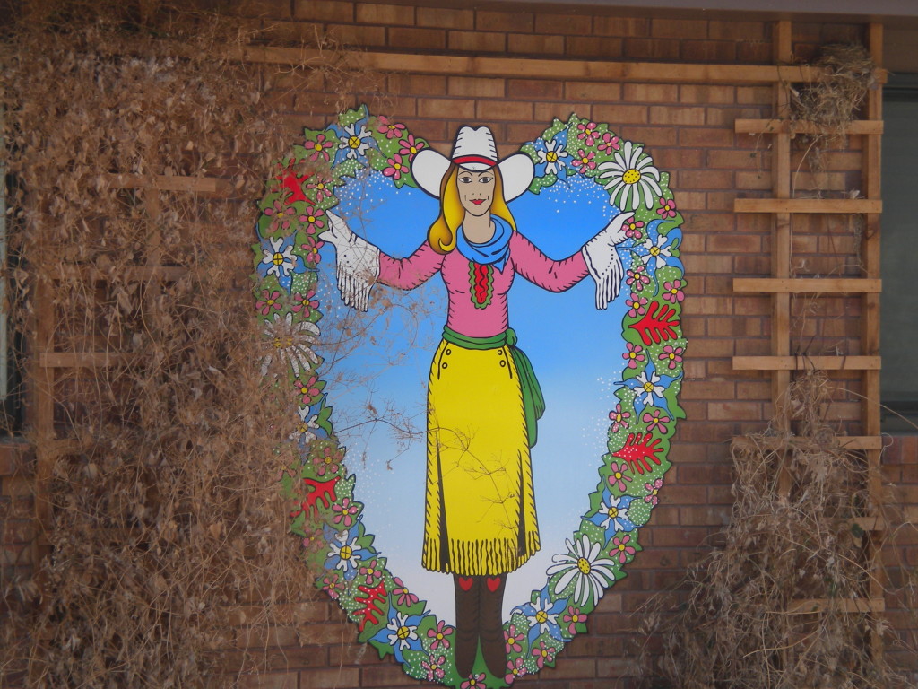
10-19-13 addition to this blog. A reader of this blog (who lives in the area) did some research on the ‘cowgirl’ picture below. She found that it is apparently based on the cover art for the album ‘Sweetheart of the Rodeo’ by the Byrds. Thanks!!






Great pictures and comments
I live in the neighborhood with the house that has the “Annie Oakley” outside. I’ve been told by various neighbors that a semi-famous artist from the 30’s/40’s/50’s created it, and the house owner is a big fan. So they bought this piece and have it outside the house.
Jeff… thanks for the info. I figured there must be some story behind it. If anybody knows who the artist is, I’d love to know.