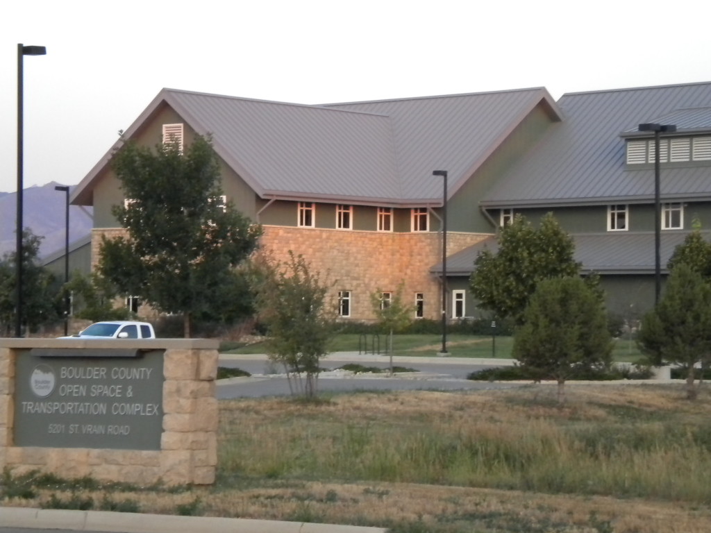
North of Nelson Road, west of Airport Road, south of St. Vrain Road (9th Avenue) , east of 75th Street.
Total for today: 20,610 steps and 3:41 time.
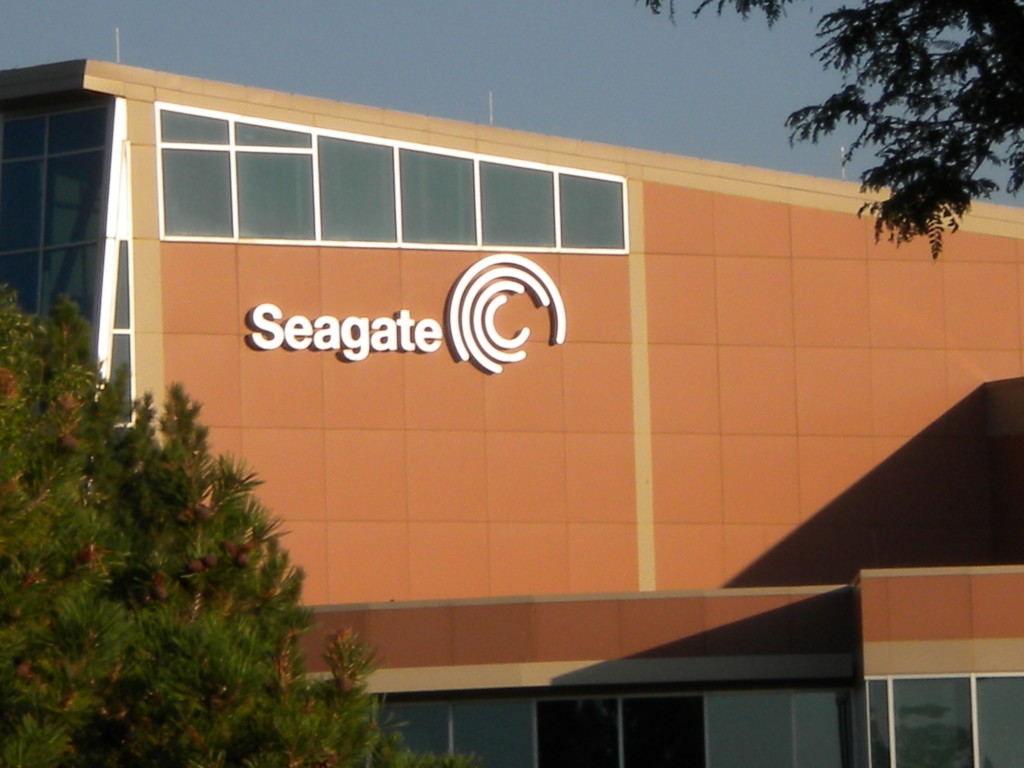
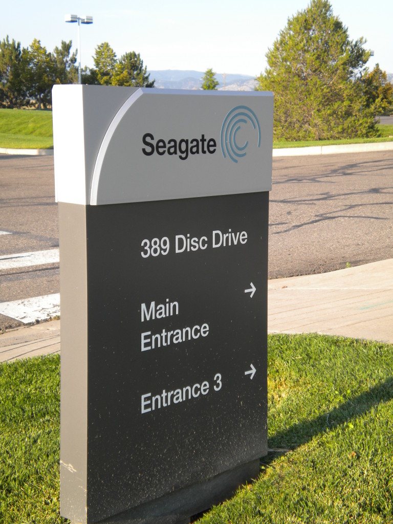
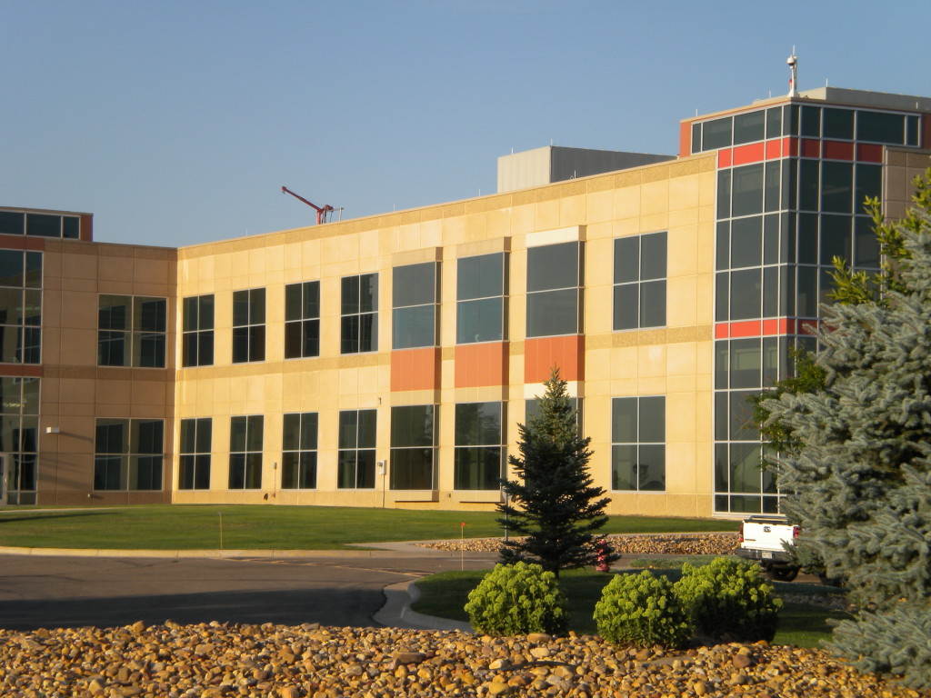
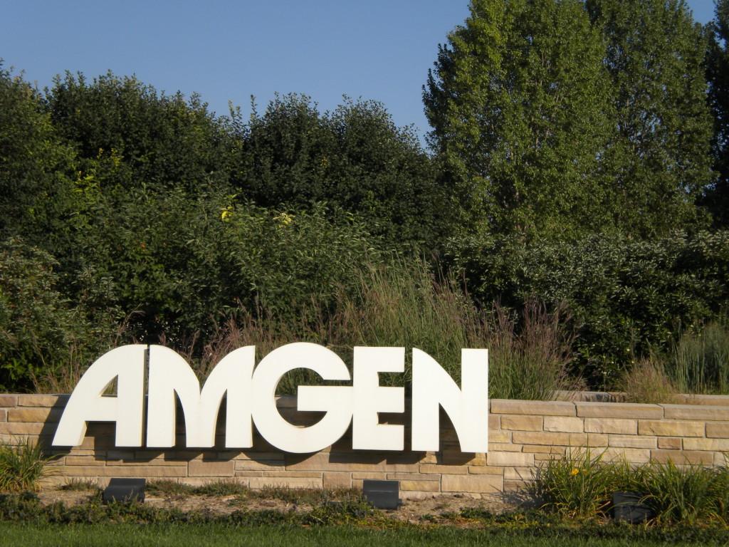
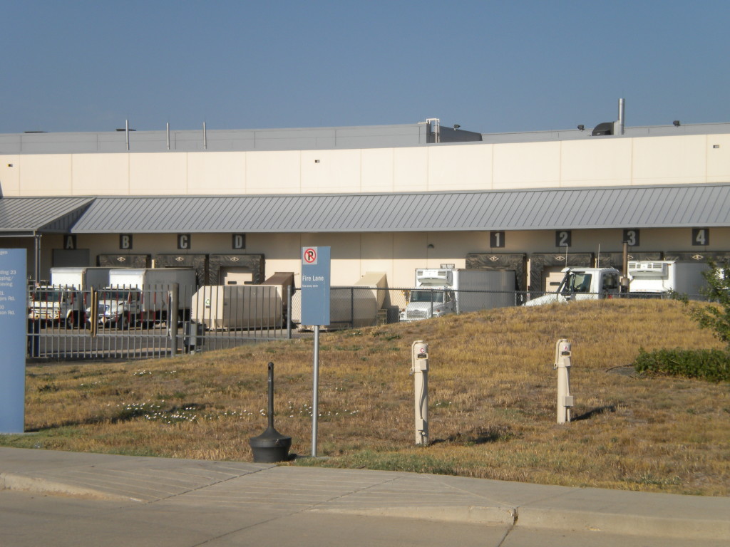
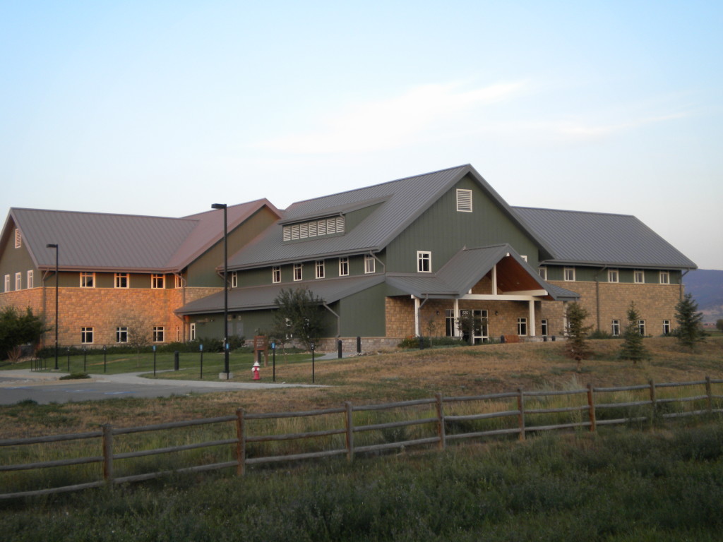
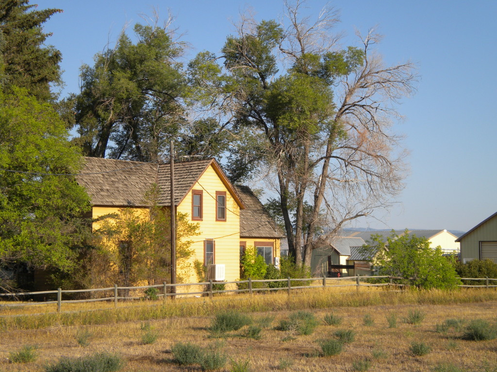
This was a whole lot of open area, agricultural area, airport area today. I actually walked very few ‘streets’. Vance Brand Airport takes up a lot of this area, as well as the Seagate and Amgen industrial campuses. The city of Longmont and Boulder County have some facilities here as well. (BTW, I never knew that Amgen stood for Applied Molecular GENetics… did you?)
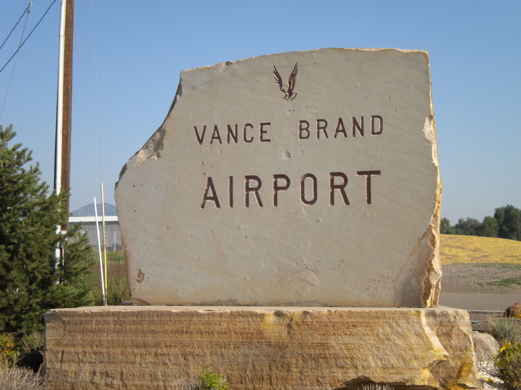
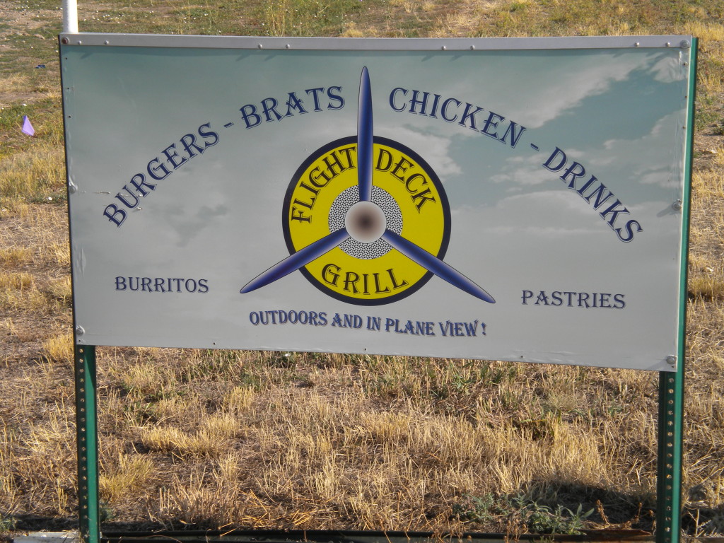
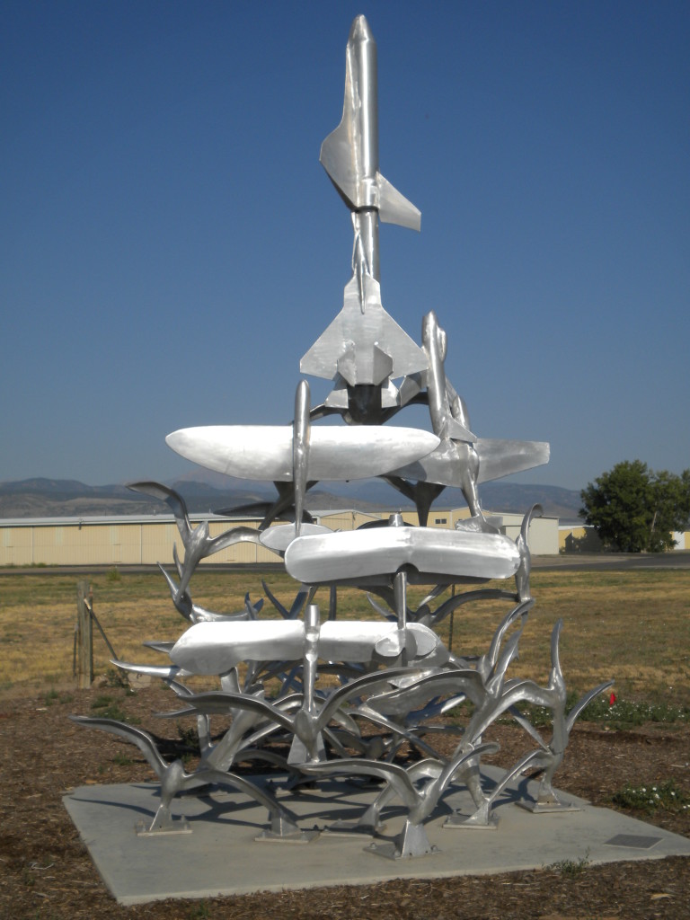
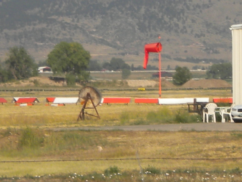
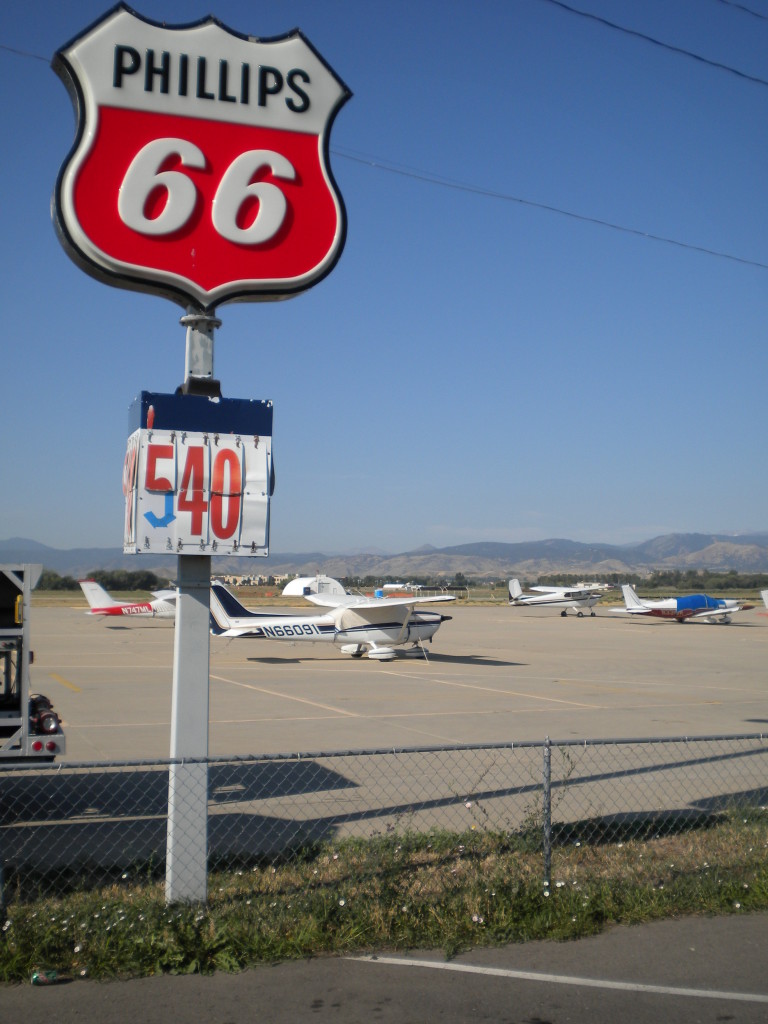
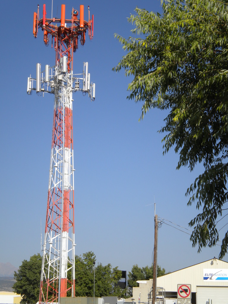
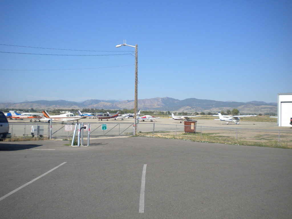
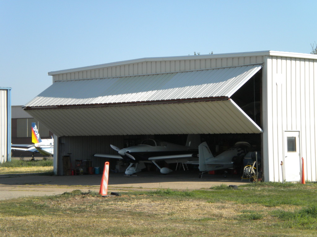
VANCE BRAND AIRPORT
I’ve never been to the airport before, and am not very familiar with the whole airplane culture, so it was interesting for me to see this on my walk. That’s why I’ve put in that many pictures for the airport.
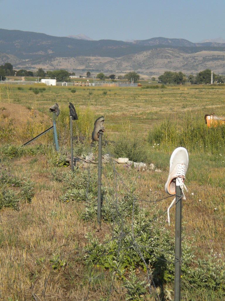
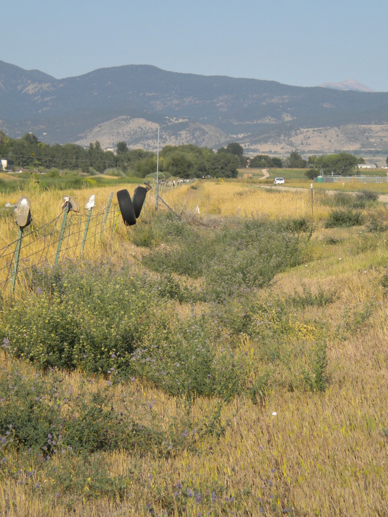
Vance Brand is Longmont’s ‘native son’… with an airport and school auditorium named after him. When I walked Rogers Road immediately south of the airport, there were a hundred or more shoes on fence posts there. Not sure what inspired that…
Vance Brand wikipedia
Seagate wikipedia
As I walked on Nelson Road between Seagate and Amgen, I noticed the very nice house and barn east of Silver Creek High School are now completely gone (see my June 16 blog for pictures and a link to a story in the Times-Call about it).
By the way, the traffic going west-bound here on Nelson Road at 8am was VERY heavy… almost a constant stream of cars!
Amgen wikipedia
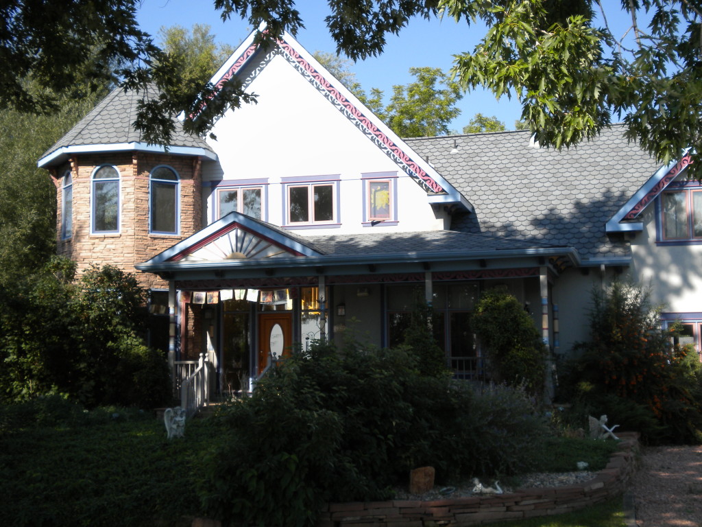
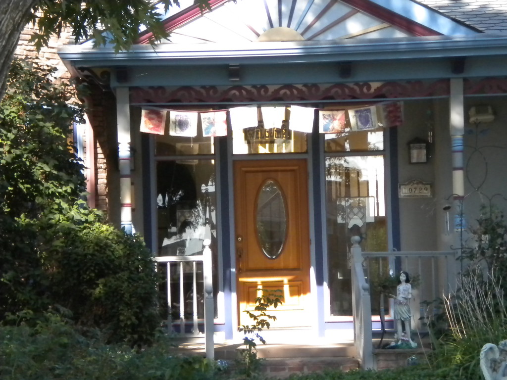
and the only other ‘internet’ reference I’ll make in today’s blog is to this house on Airport Road. I love the ‘fairy’ motif they have in the front yard…
Fairy photographs wiki (Cottingley fairies)
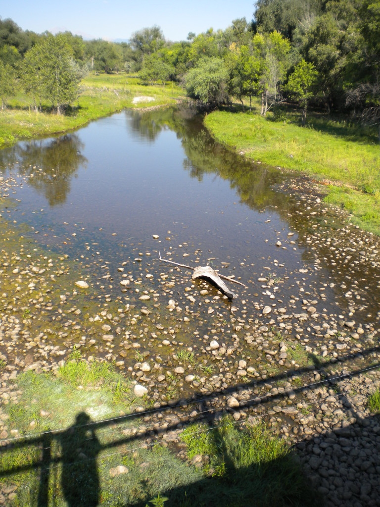
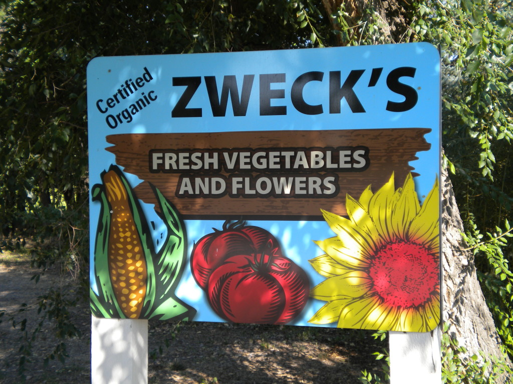
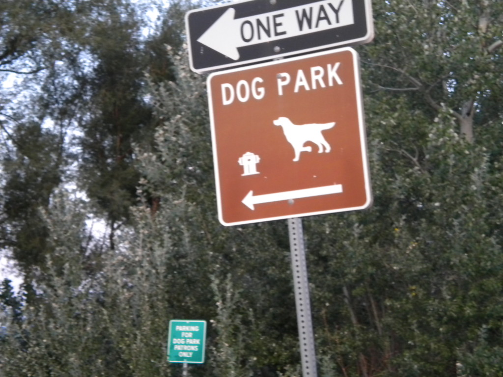
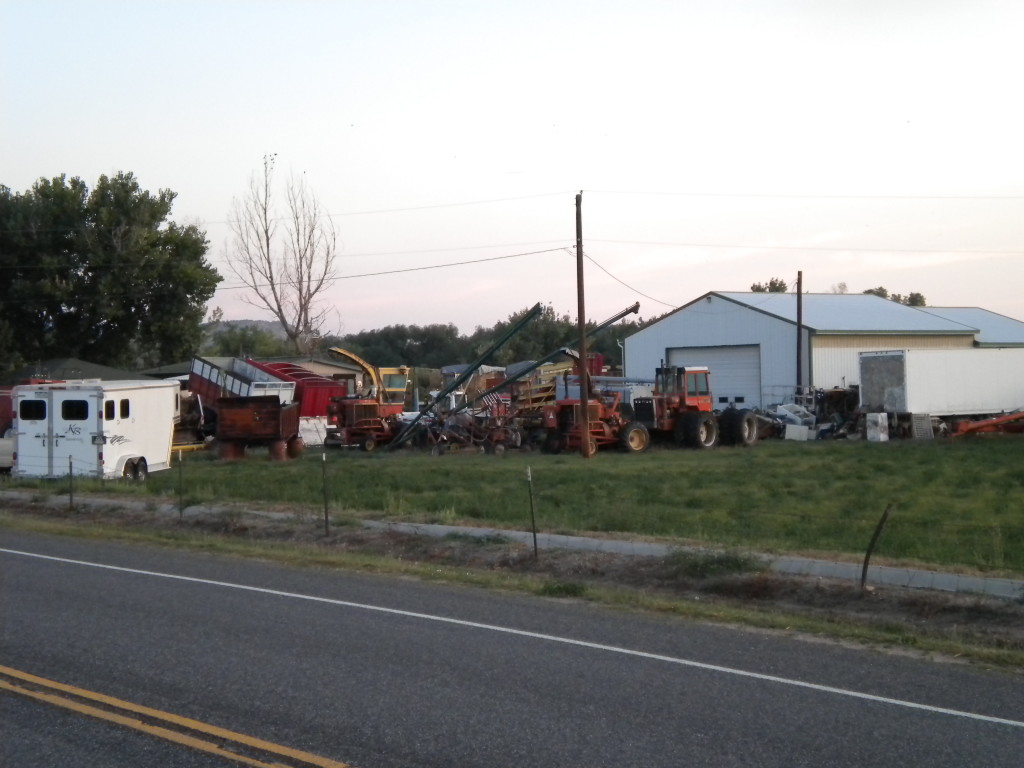
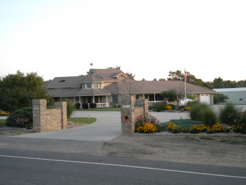
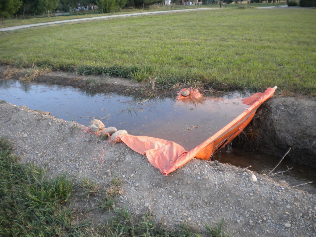
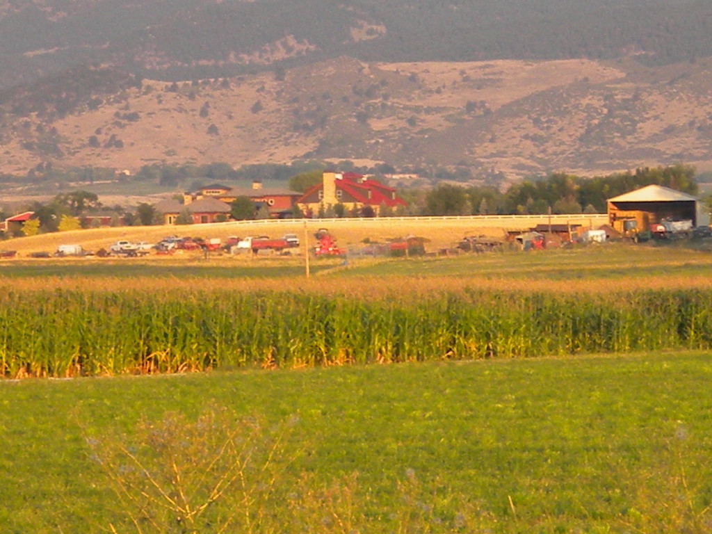
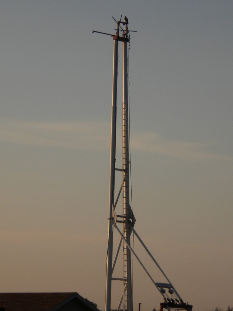
AND THE BEST OF THE REST of the photos…
