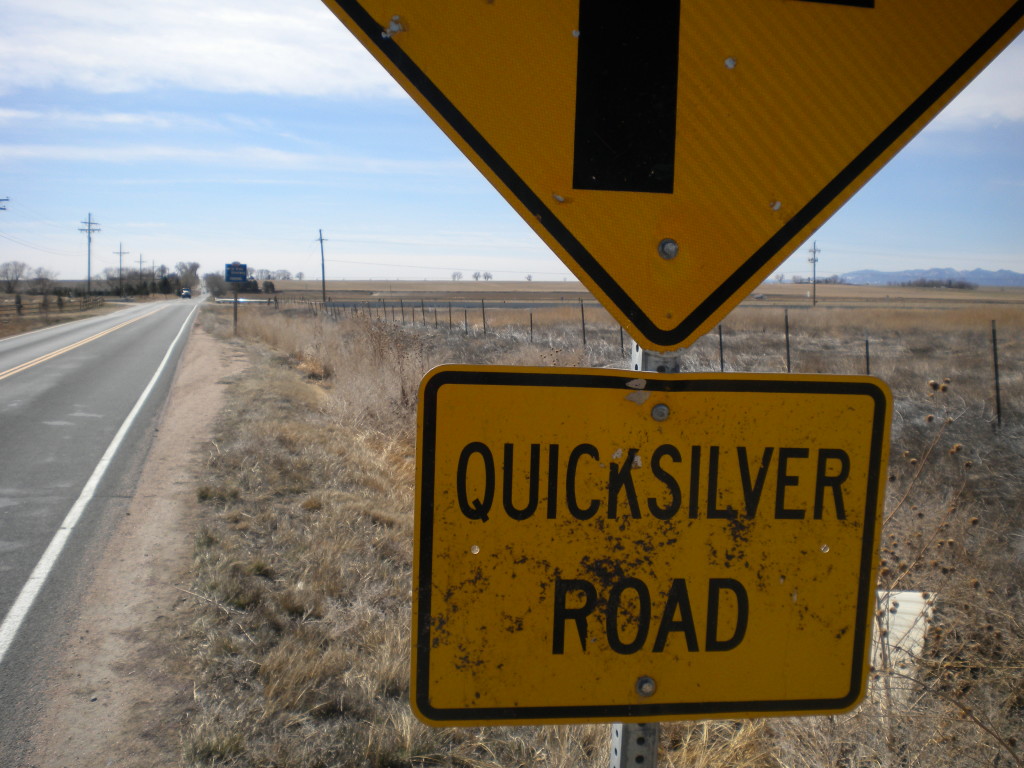
North of Quicksilver Road, west of Weld County Road, south of Ken Pratt Boulevard, east of 119th St.
I covered a large area today, but it was mostly farmland. Probably a lot of it isn’t technically a part of Longmont, but it’s what I’ve somewhat arbitrarily designated as the south-east corner of what I’m planning to walk this year.
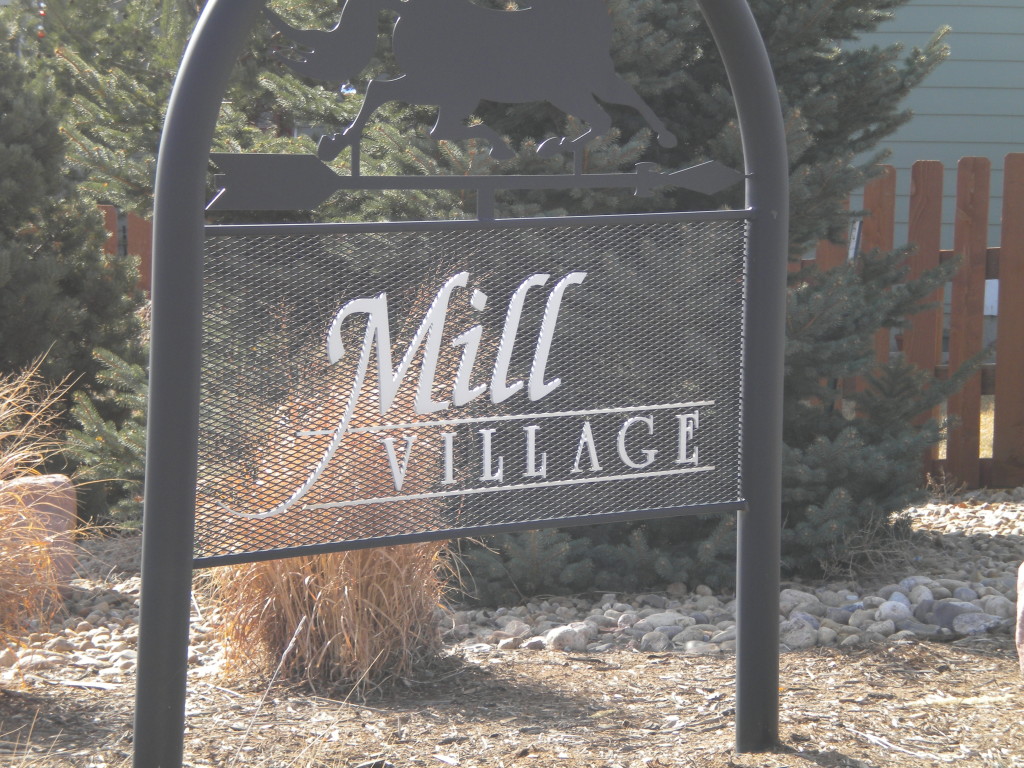
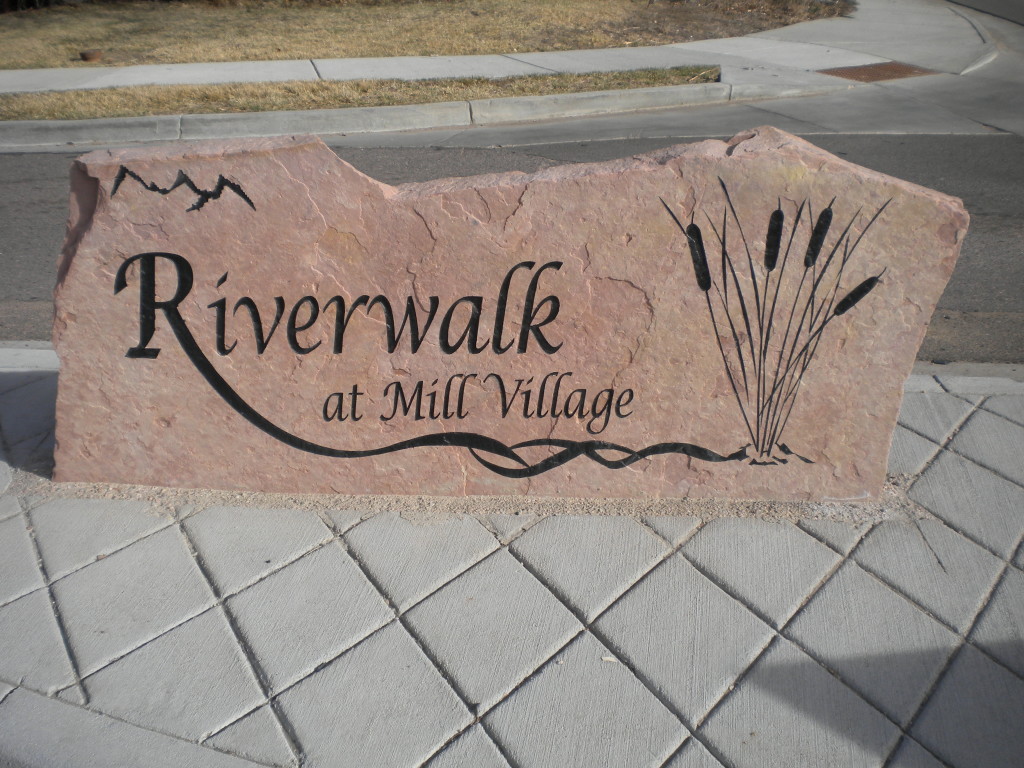
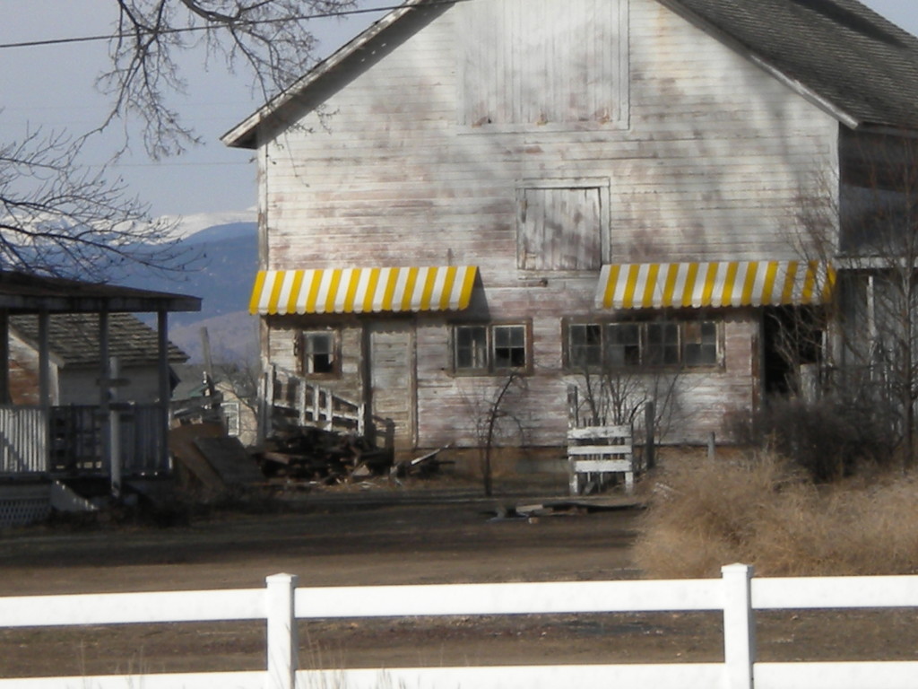
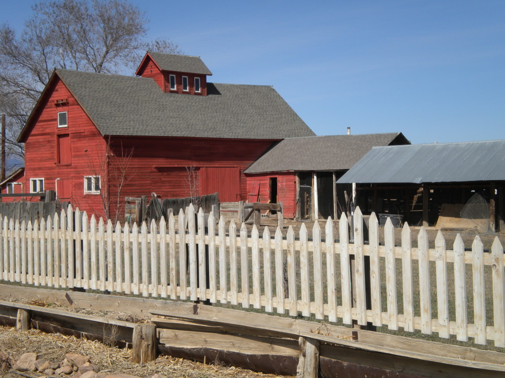
The Mill Village subdivision is one of the newer ones in town, and is named after it’s proximity to the old sugar mill. Around the edges of it are older farm homes and buildings.
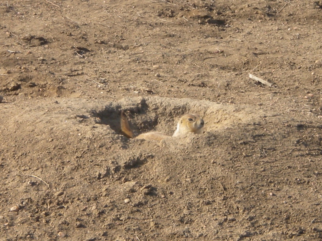
About 90 minutes of my walking today was just getting to and from this area. I saw many more prairie dogs today than humans.
By the way, it was the last day of winter today.
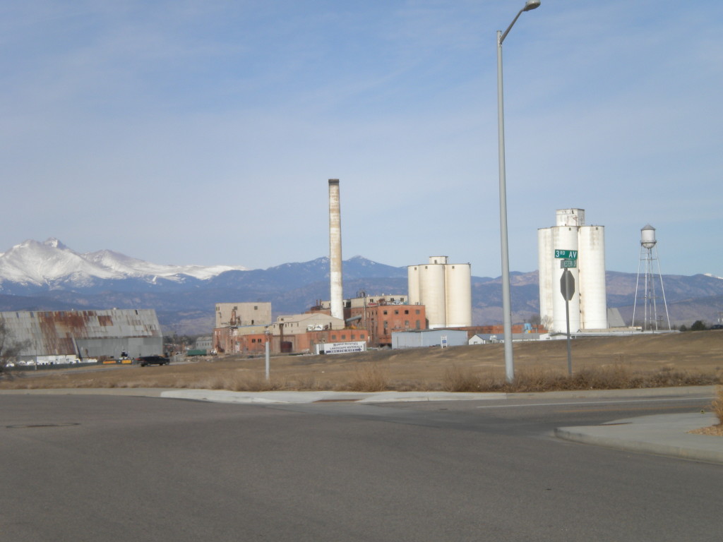
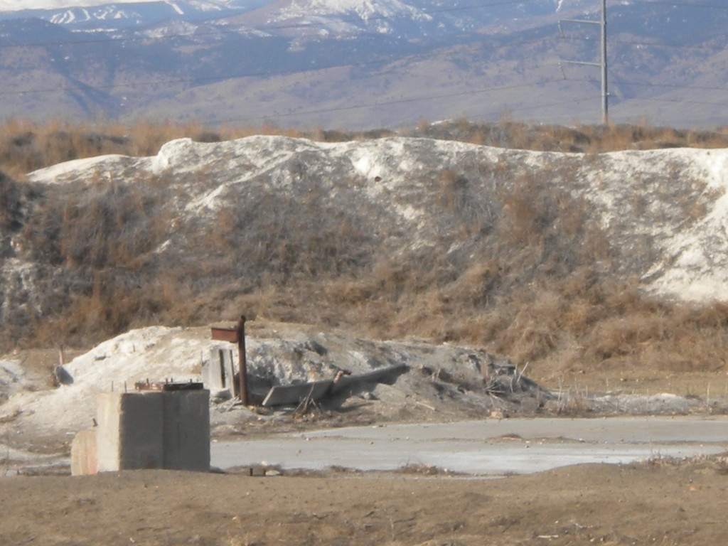
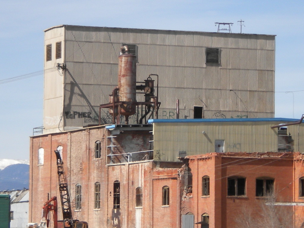
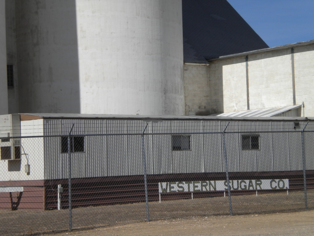
Although the old sugar mill is not in my walking area today, I took a few pictures of it from a distance. I believe the mounds of whitish substance here, which is in today’s area, are left-overs from the sugar processing. It seems like I’ve heard it might be lime, but I’m not sure.
Toward the end of my walk, going up 119th street, wasn’t sure what the best way was to get home. I was dreading having to either walk all the way west to Martin Street, or east to where Ken Pratt and 3rd Avenue met up, adding about a mile of unnecessary walking. I was surprised to see that 119th actually ran north right by the mill buildings, and then wound around to Sugar Mill Road, and then came out on Alpine, the street I live on !! A pleasant discovery! All these years I’ve lived here, I’ve never drove on that road, or knew that it came out where it did.
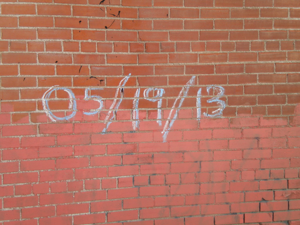
The next few pictures are from my path back today, rather than the strict area I covered today, but I thought they fit in with the sugar mill theme. The 5-19-13 future reference seems a little ominous to me… not sure what is coming up on that date!!
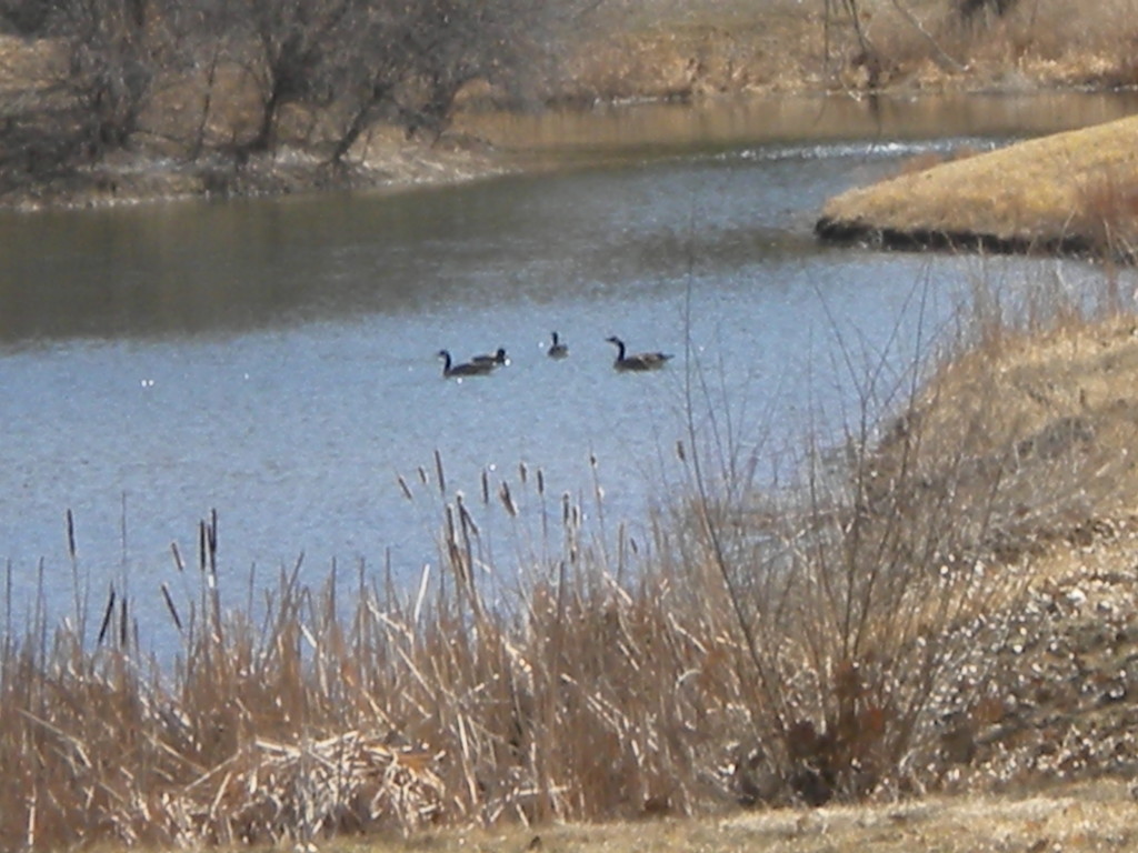
The following few pictures are from across County Line Road and Quicksilver Road, also not part of Longmont proper. There is a St. Vrain Greenway hiking area there, following along Quicksilver Road. The one picture, zoomed in pretty far, appears to be black swans, from what I can tell. I thought those were suppposed to be pretty rare, so maybe that’s not what they are.
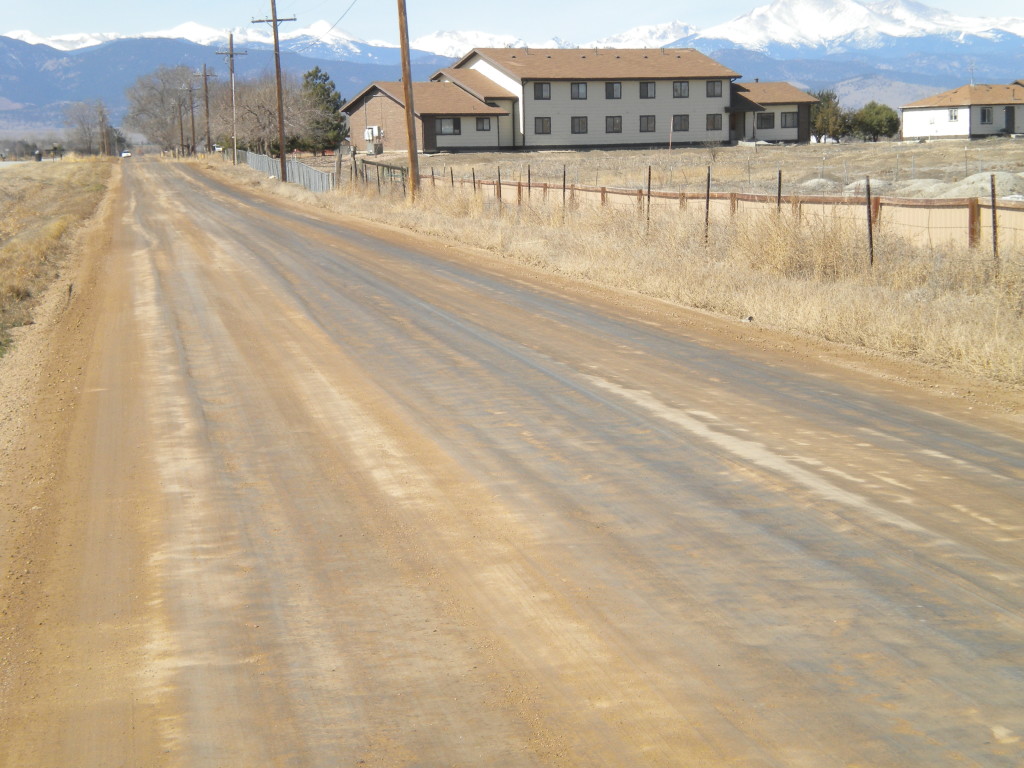
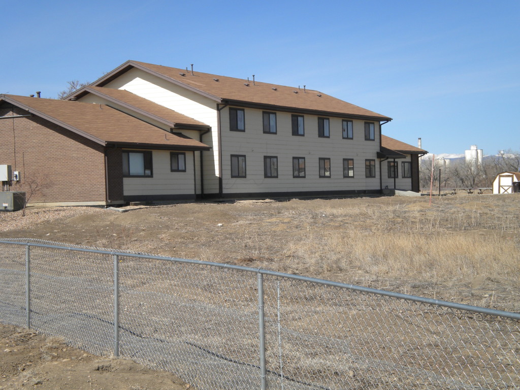
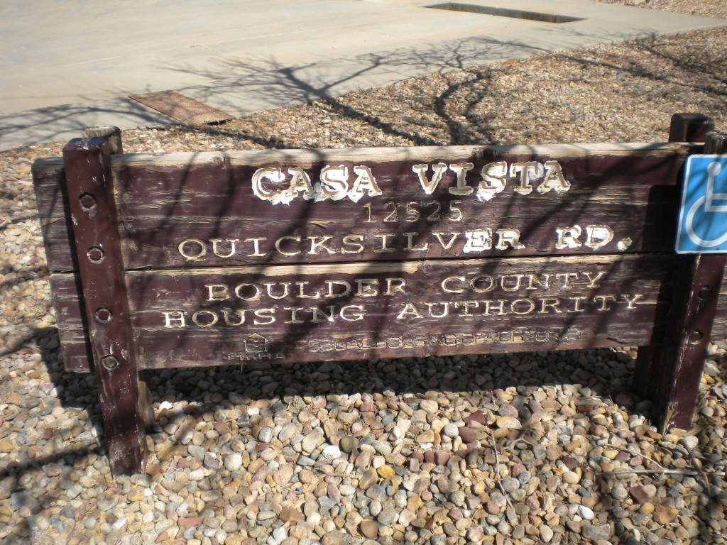
I remember reading about the Casa Vista building years ago, but I don’t remember the details. I seem to remember it was somewhat controversial, being built for one purpose, and then used for something else, maybe immigrant housing. But now it appears to be abandoned. Kind of a shame… it looks to me like it’s a very nice building, and still in fairly good condition.
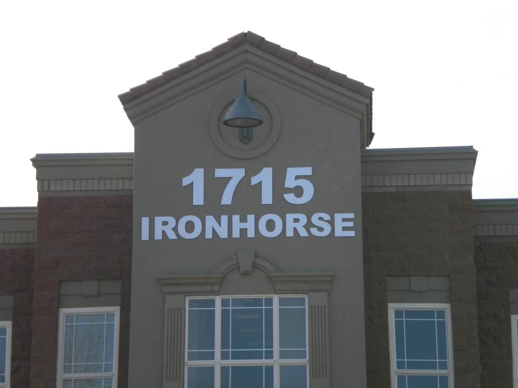
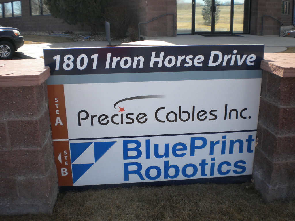
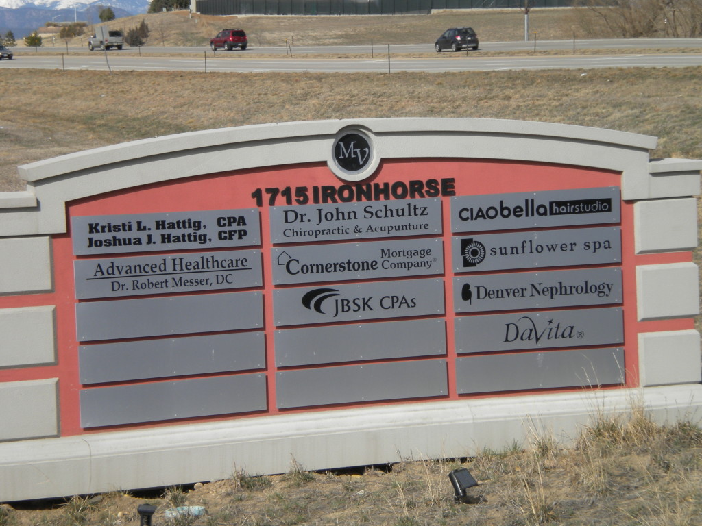
 Now, finally back to the Mill Village subdivision. Two things in particular drew my attention. One is that Iron Horse Drive can’t seem to decide if it wants a space in it’s name or not. One building and Google maps both list it as Ironhorse, without the space, while another building, and the street signs themselves, list it as Iron Horse.
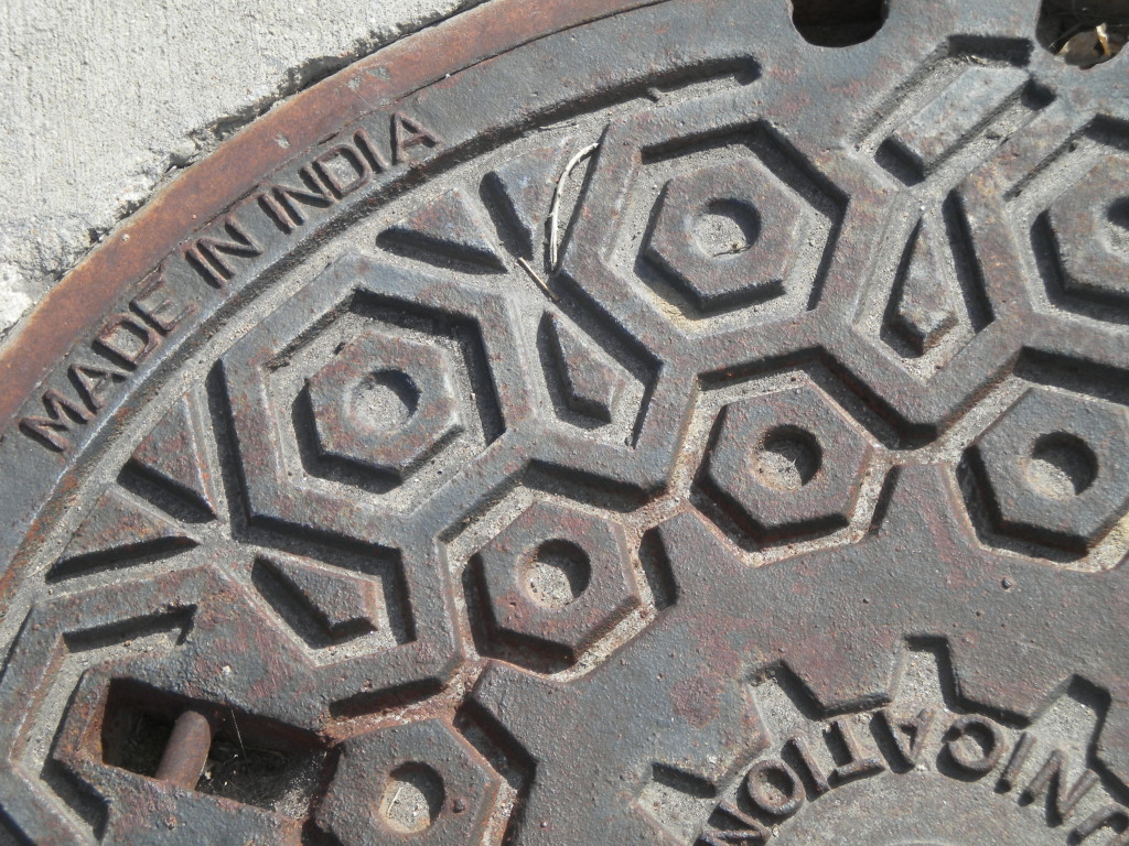
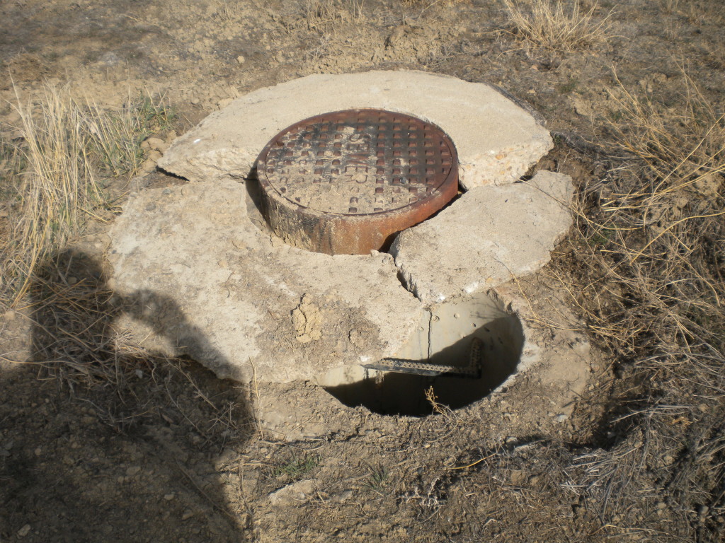
Another is that I saw a manhole cover that was apparently made in India. Seems surprising to me that they would ship them from that far away. Seems like it would be nice if we can make them here in the United States, or at least in the Western Hemisphere.
I also saw one that said East Jordan Iron Works. Now at least this wasn’t from the country of Jordan in the Middle East. I figured it was from Utah… there’s a West Jordan that’s a suburb of Salt Lake City. But I looked it up when I got home, and to my surprise, East Jordan Iron Works is based out of East Jordan, Michigan… and also apparently has a branch in Denver (or maybe Commerce City).
Total for today: 28,200 steps,5:05 time
five new license plates — Georgia, Illinois, Nebraska, New York, and Texas
You always amaze me. You can walk through what looks like a boring area and find interesting things to comment on. But that’s why you’re so fun to be married to. You find the good in everything, even me, and you pepper your speech with tidbits of knowledge that keep the spice in our lives. Love you Mark.
these are making my day!